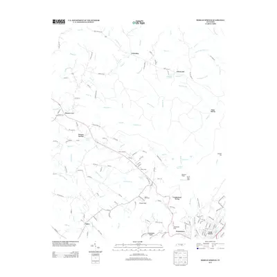
2013 Map of Morgan Springs
USGS Topo · Published 2013About this map
Morgan Springs and Walden Ridge dominate the landscape of this Tennessee survey, which traces the transition from high bluff terrain down to the settled outskirts of the Tennessee River valley. The mapping documents a network of rural settlements like Friendship and Liberty Hill, where the drainage patterns of Henderson Cr and Lowry Cr have long influenced local road layouts. Genealogists and local historians will find value in the specific placement of the Barbie Cemetery and the rural roads that serve family-named landmarks like Johnson Bluff. Toward the southeast, the terrain shifts significantly at Dutchmans Knob and Cranmore Cove, signaling the descent into the more developed corridors near Morgantown and North Dayton. The presence of the Dayton Reservoir and smaller water bodies like Sinclair Lake illustrate the importance of water management in this upland environment.
Find a feature on this map
143 named features on this map. Tap any name to fly to it.
Don’t see what you’re looking for? This feature index may not catch every label — zoom into the map to look around manually.
Map Details
Editions of this 2013 Morgan Springs Map
This is the sole edition of this map. No revisions or reprints were ever made.
Other maps of this area

1886 · Cleveland
USGS Topo · 1:125,000

1887 · Kingston
USGS Topo · 1:125,000

1888 · Chattanooga
USGS Topo · 1:125,000

1891 · Kingston
USGS Topo · 1:125,000

1892 · Pikeville
USGS Topo · 1:125,000

1892 · Cleveland
USGS Topo · 1:125,000

1893 · Chattanooga
USGS Topo · 1:125,000

1893 · Kingston
USGS Topo · 1:125,000

1895 · Cleveland
USGS Topo · 1:125,000

1895 · Pikeville
USGS Topo · 1:125,000