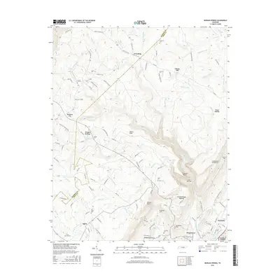
2016 Map of Morgan Springs
USGS Topo · Published 2016About this map
Walden Ridge and the dramatic Cumberland Escarpment define the terrain of this Rhea and Bledsoe County borderland. The topography reveals a complex network of gorges and high plateaus, where Henderson Creek and Richland Creek carve through the landscape toward the Dayton Reservoir and the growing community of Dayton. Settlement patterns follow the high ground and narrow hollows, with rural hamlets such as Friendship, Summer City, and Morgan Springs connected by a web of mountain roads including Summer City Fire Tower Road.
Find a feature on this map
122 named features on this map. Tap any name to fly to it.
Don’t see what you’re looking for? This feature index may not catch every label — zoom into the map to look around manually.
Map Details
Editions of this 2016 Morgan Springs Map
This is the sole edition of this map. No revisions or reprints were ever made.
Other maps of this area

1886 · Cleveland
USGS Topo · 1:125,000

1887 · Kingston
USGS Topo · 1:125,000

1888 · Chattanooga
USGS Topo · 1:125,000

1891 · Kingston
USGS Topo · 1:125,000

1892 · Pikeville
USGS Topo · 1:125,000

1892 · Cleveland
USGS Topo · 1:125,000

1893 · Chattanooga
USGS Topo · 1:125,000

1893 · Kingston
USGS Topo · 1:125,000

1895 · Cleveland
USGS Topo · 1:125,000

1895 · Pikeville
USGS Topo · 1:125,000