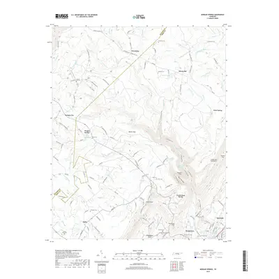
2019 Map of Morgan Springs
USGS Topo · Published 2019About this map
Walden Ridge and the Cumberland Escarpment dominate this section of the Cumberland Plateau, where the high tableland breaks sharply down toward Dayton and the Tennessee River valley. The landscape is defined by its deep incisions, including North Pole Gulf and Cranmore Cove, which create a natural barrier between the upland settlements and the valley floor. Small communities such as Friendship, Liberty Hill, and Morgan Springs are scattered across the ridge, connected by a network of rural roads like Summer City Rd and Quarter Hollow Rd.
Find a feature on this map
122 named features on this map. Tap any name to fly to it.
Don’t see what you’re looking for? This feature index may not catch every label — zoom into the map to look around manually.
Map Details
Editions of this 2019 Morgan Springs Map
This is the sole edition of this map. No revisions or reprints were ever made.
Other maps of this area

1886 · Cleveland
USGS Topo · 1:125,000

1887 · Kingston
USGS Topo · 1:125,000

1888 · Chattanooga
USGS Topo · 1:125,000

1891 · Kingston
USGS Topo · 1:125,000

1892 · Pikeville
USGS Topo · 1:125,000

1892 · Cleveland
USGS Topo · 1:125,000

1893 · Chattanooga
USGS Topo · 1:125,000

1893 · Kingston
USGS Topo · 1:125,000

1895 · Cleveland
USGS Topo · 1:125,000

1895 · Pikeville
USGS Topo · 1:125,000