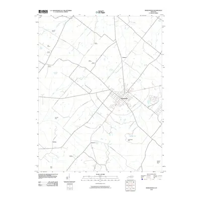
1969 Map of Morganfield
USGS Topo · Published 1971About this map
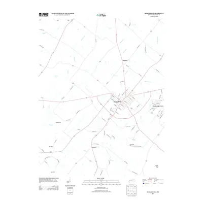
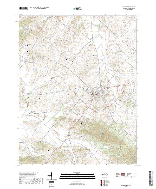
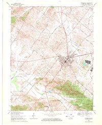
Morganfield serves as the hub of this Union County survey, where the Illinois Central railroad lines converge amidst a landscape of mid-century industrial and civic activity. The map reveals a dense network of local family history, preserved through numerous rural burial grounds such as Davenport Cem, Sugg Cem, and Rayburn Cem. To the southeast, the terrain shifts from the agricultural plains to the wooded ridges of the Chalybeate Hills, much of which is dedicated to the Higginson-Henry Wildlife Management Area. The economic character of the era is clearly defined by an extensive oil field punctuated by scores of oil wells that dot the countryside between Antioch Road and Wathen Road. Notable civic landmarks include the Breckinridge Job Corps Center and a drive-in theater, reflecting the social infrastructure of Kentucky in the late 1960s.
Find a feature on this map
62 named features on this map. Tap any name to fly to it.
Don’t see what you’re looking for? This feature index may not catch every label — zoom into the map to look around manually.
Map Details
Editions of this 1969 Morganfield Map
This is the sole edition of this map. No revisions or reprints were ever made.
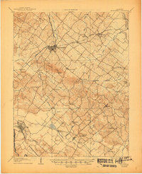
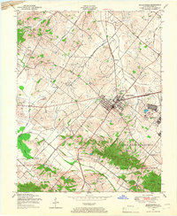
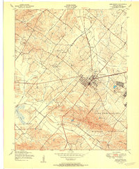
Historical Maps of Morganfield Through Time
9 maps found