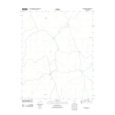
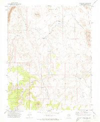
2011 Map of Moriah Knoll
USGS Topo · Published 2011About this map
Langs Run defines the drainage of this Mohave County landscape, winding through a high plateau characterized by isolated volcanic or erosional heights like Moriah Knoll and Berry Knoll. The terrain reflects a sparse, arid environment where water management is critical to ranching or land use, evidenced by the numerous catchments and tanks scattered across the quadrangle. Features such as Twin Wash Tank, Nickals Tank, and Langston Black Canyon Tank show the distributed network of water points necessary for survival in the region's expansive valleys.
Find a feature on this map
15 named features on this map. Tap any name to fly to it.
Don’t see what you’re looking for? This feature index may not catch every label — zoom into the map to look around manually.
Map Details
Editions of this 2011 Moriah Knoll Map
This is the sole edition of this map. No revisions or reprints were ever made.
Other maps of this area

1886 · Mt. Trumbull
USGS Topo · 1:250,000

1892 · Mt. Trumbull
USGS Topo · 1:250,000

1953 · Grand Canyon
USGS Topo · 1:250,000

1957 · Grand Canyon
USGS Topo · 1:250,000

1958 · Grand Canyon
USGS Topo · 1:250,000

1960 · Grand Canyon
USGS Topo · 1:250,000
1967 · Mt. Trumbull NE
USGS Topo · 1:24,000
1967 · Mt. Trumbull NW
USGS Topo · 1:24,000
1971 · Antelope Knoll
USGS Topo · 1:24,000
1971 · Moriah Knoll
USGS Topo · 1:24,000