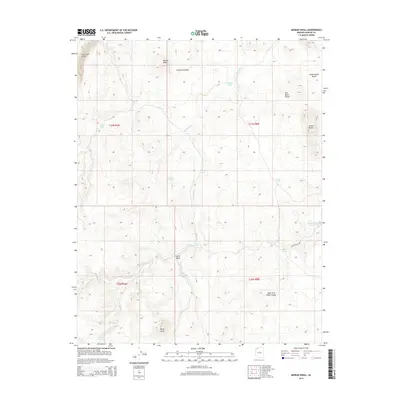
2014 Map of Moriah Knoll
USGS Topo · Published 2014About this map
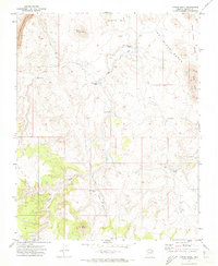
The Hurricane Cliffs dominate the northwestern horizon of this Mohave County high-desert landscape, where the plateau drops away toward the west. This territory is defined by seasonal water resources and distinct topographic breaks, including the broad Lonesome Valley and the smaller Dutch Valley. In a region where permanent water is scarce, the map identifies critical cattle-ranching and wildlife features like Hualpais Spring, Shanley Tank, and Nickals Tank.
Find a feature on this map
24 named features on this map. Tap any name to fly to it.
Don’t see what you’re looking for? This feature index may not catch every label — zoom into the map to look around manually.
Map Details
Editions of this 2014 Moriah Knoll Map
This is the sole edition of this map. No revisions or reprints were ever made.
Other maps of this area

1886 · Mt. Trumbull
USGS Topo · 1:250,000

1892 · Mt. Trumbull
USGS Topo · 1:250,000

1953 · Grand Canyon
USGS Topo · 1:250,000

1957 · Grand Canyon
USGS Topo · 1:250,000

1958 · Grand Canyon
USGS Topo · 1:250,000

1960 · Grand Canyon
USGS Topo · 1:250,000
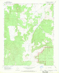
1967 · Mt. Trumbull NE
USGS Topo · 1:24,000
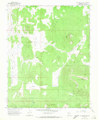
1967 · Mt. Trumbull NW
USGS Topo · 1:24,000
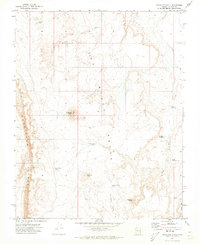
1971 · Antelope Knoll
USGS Topo · 1:24,000
1971 · Moriah Knoll
USGS Topo · 1:24,000