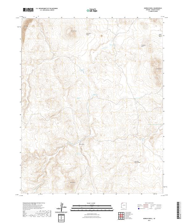
2021 Map of Moriah Knoll
USGS Topo · Published 2021About this map
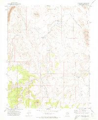
Hurricane Cliffs dominate the western edge of this high-desert landscape in Mohave County, where the terrain drops sharply toward the basin floor. This 2021 survey reveals a remote Arizona backcountry defined by isolated water sources and complex topographical formations. Cattle tanks and natural catchments like Nickals Tank, Turn Wash Tank, and Hualpais Spring underscore the importance of water management in this arid environment. The map details the transition from the broad floor of Lonesome Valley to prominent heights such as Moriah Knoll and the Seven Knolls. Local naming conventions are evident in features like The Black Rocks and the Seven Knolls Bench, providing essential landmarks for navigation across the Dutch Valley.
Find a feature on this map
23 named features on this map. Tap any name to fly to it.
Don’t see what you’re looking for? This feature index may not catch every label — zoom into the map to look around manually.
Map Details
Editions of this 2021 Moriah Knoll Map
This is the sole edition of this map. No revisions or reprints were ever made.
Other maps of this area

1886 · Mt. Trumbull
USGS Topo · 1:250,000

1892 · Mt. Trumbull
USGS Topo · 1:250,000

1953 · Grand Canyon
USGS Topo · 1:250,000

1957 · Grand Canyon
USGS Topo · 1:250,000

1958 · Grand Canyon
USGS Topo · 1:250,000

1960 · Grand Canyon
USGS Topo · 1:250,000
1967 · Mt. Trumbull NE
USGS Topo · 1:24,000
1967 · Mt. Trumbull NW
USGS Topo · 1:24,000
1971 · Antelope Knoll
USGS Topo · 1:24,000
1971 · Moriah Knoll
USGS Topo · 1:24,000