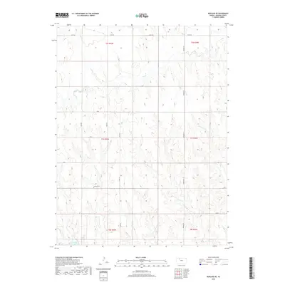
2018 Map of Morland NE
USGS Topo · Published 2018About this map
Antelope Lake sits at the southwestern edge of this landscape, fed by the waters of Antelope Cr in a region defined by the intricate drainages of the High Plains. The terrain is deeply dissected by a network of seasonal and permanent waterways, including the winding paths of Bow Cr, Rock Cr, and Youngs Cr. These drainages create a complex topography of ridges and draws that dictate the placement of the rural road network, which largely follows the section lines of the Public Land Survey System. For those researching family history in Graham County, the Anderson Cem stands as a significant landmark in the central-western portion of the map. The spatial organization revealed here shows the enduring layout of rural Kansas, where isolated cemeteries and water sources remain the primary touchstones for local geography.
Find a feature on this map
22 named features on this map. Tap any name to fly to it.
Don’t see what you’re looking for? This feature index may not catch every label — zoom into the map to look around manually.
Map Details
Editions of this 2018 Morland NE Map
This is the sole edition of this map. No revisions or reprints were ever made.
Other maps of this area

1893 · Norton
USGS Topo · 1:125,000

1893 · Hill
USGS Topo · 1:125,000

1954 · Goodland
USGS Topo · 1:250,000

1955 · Beloit
USGS Topo · 1:250,000

1956 · Goodland
USGS Topo · 1:250,000

1957 · Goodland
USGS Topo · 1:250,000

1959 · Beloit
USGS Topo · 1:250,000

1978 · Clayton SW
USGS Topo · 1:24,000

1978 · Lenora East
USGS Topo · 1:24,000

1978 · Lenora West
USGS Topo · 1:24,000