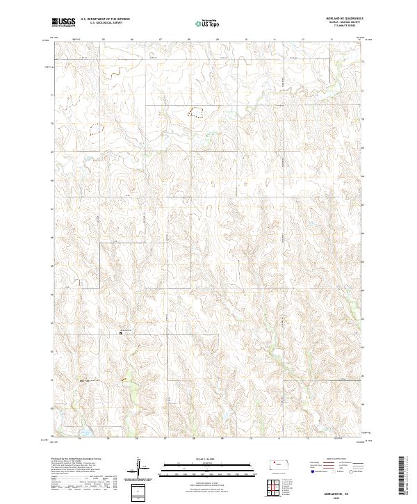
2022 Map of Morland NE
USGS Topo · Published 2022About this map
Antelope Lake sits in the southwest corner of this northern Graham County landscape, where the waters of Antelope Cr are captured amidst a terrain defined by a branching network of creek drainages. The area is marked by the meandering paths of Bow Cr in the north and the southeastern flow of Youngs Cr and Rock Cr, illustrating the complex natural irrigation of the Kansas High Plains. Human imprint is visible through a precise grid of rural routes such as Goddard Rd and Co Rd 380, which partition the land into the townships of T6S, T7S, and T8S.
Find a feature on this map
22 named features on this map. Tap any name to fly to it.
Don’t see what you’re looking for? This feature index may not catch every label — zoom into the map to look around manually.
Map Details
Editions of this 2022 Morland NE Map
This is the sole edition of this map. No revisions or reprints were ever made.
Other maps of this area

1893 · Norton
USGS Topo · 1:125,000

1893 · Hill
USGS Topo · 1:125,000

1954 · Goodland
USGS Topo · 1:250,000

1955 · Beloit
USGS Topo · 1:250,000

1956 · Goodland
USGS Topo · 1:250,000

1957 · Goodland
USGS Topo · 1:250,000

1959 · Beloit
USGS Topo · 1:250,000

1978 · Clayton SW
USGS Topo · 1:24,000

1978 · Lenora East
USGS Topo · 1:24,000

1978 · Lenora West
USGS Topo · 1:24,000