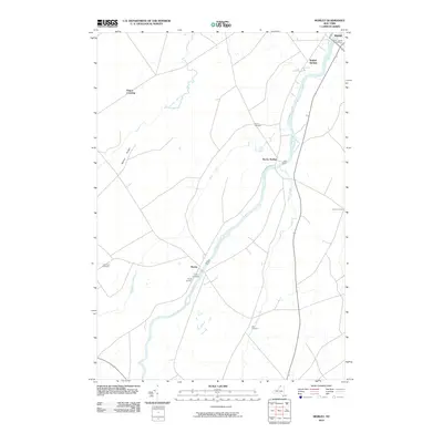
2010 Map of Morley
USGS Topo · Published 2010About this map
The Grass River serves as the central geographic feature of this Northern New York landscape, winding its way through the settlements of Morley and Madrid. This survey of the area near Potsdam reveals a rural environment structured around small crossings and agricultural intersections such as Hague Crossing and Casey Corners. The mapping of several distinct burying grounds, including the Lawrence Cemetery and Olin Cemetery, provides significant data points for genealogists tracing families in Saint Lawrence County. Significant waterways like Brandy Brook and Line Creek feed into the main river system, while Morey Ridge provides the most notable topographic variation in an otherwise gently undulating terrain. The proximity of Madrid Springs to the primary Madrid settlement suggests the local importance of water resources during the early 21st century.
Find a feature on this map
18 named features on this map. Tap any name to fly to it.
Don’t see what you’re looking for? This feature index may not catch every label — zoom into the map to look around manually.
Map Details
Editions of this 2010 Morley Map
This is the sole edition of this map. No revisions or reprints were ever made.
Other maps of this area

1904 · Lisbon
USGS Topo · 1:48,000

1904 · Ogdensburg
USGS Topo · 1:62,500

1905 · Waddington
USGS Topo · 1:62,500

1905 · Ogdensburg
USGS Topo · 1:62,500

1906 · Red Mills
USGS Topo · 1:62,500

1910 · Canton
USGS Topo · 1:62,500

1911 · Canton
USGS Topo · 1:62,500

1942 · Waddington
USGS Topo · 1:24,000

1942 · Chase Mills
USGS Topo · 1:24,000

1943 · Rensselaer Falls
USGS Topo · 1:31,680