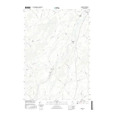
2016 Map of Morley
USGS Topo · Published 2016About this map
The Grass River defines the central axis of this Saint Lawrence County landscape, winding northward through the hamlets of Morley and Bucks Bridge. In this 2016 record of the region, the rural character remains evident in the network of farm-to-market roads and the distribution of localized burial grounds. Family names and local history are preserved in the naming of several rural plots, including Doran Cem, Olin Cem, and Lawrence Cem, which are scattered among the fields.
Find a feature on this map
53 named features on this map. Tap any name to fly to it.
Don’t see what you’re looking for? This feature index may not catch every label — zoom into the map to look around manually.
Map Details
Editions of this 2016 Morley Map
This is the sole edition of this map. No revisions or reprints were ever made.
Other maps of this area

1904 · Lisbon
USGS Topo · 1:48,000

1904 · Ogdensburg
USGS Topo · 1:62,500

1905 · Waddington
USGS Topo · 1:62,500

1905 · Ogdensburg
USGS Topo · 1:62,500

1906 · Red Mills
USGS Topo · 1:62,500

1910 · Canton
USGS Topo · 1:62,500

1911 · Canton
USGS Topo · 1:62,500

1942 · Waddington
USGS Topo · 1:24,000

1942 · Chase Mills
USGS Topo · 1:24,000

1943 · Rensselaer Falls
USGS Topo · 1:31,680