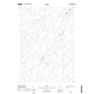
2019 Map of Morley
USGS Topo · Published 2019About this map
The Grass River flows northward through this rural landscape in Saint Lawrence County, anchoring settlements like Morley and Bucks Bridge. This 2019 survey captures the modern road network and agricultural layout of the region, where numerous family-named cemeteries such as Doran Cem, Olin Cem, and Lawrence Cem provide essential data points for local genealogists. The terrain is defined by the steady course of the river and small tributaries like Line Cr and Nettle Cr, which drain the lowlands surrounding Morey Ridge.
Find a feature on this map
54 named features on this map. Tap any name to fly to it.
Don’t see what you’re looking for? This feature index may not catch every label — zoom into the map to look around manually.
Map Details
Editions of this 2019 Morley Map
This is the sole edition of this map. No revisions or reprints were ever made.
Other maps of this area

1904 · Lisbon
USGS Topo · 1:48,000

1904 · Ogdensburg
USGS Topo · 1:62,500

1905 · Waddington
USGS Topo · 1:62,500

1905 · Ogdensburg
USGS Topo · 1:62,500

1906 · Red Mills
USGS Topo · 1:62,500

1910 · Canton
USGS Topo · 1:62,500

1911 · Canton
USGS Topo · 1:62,500

1942 · Waddington
USGS Topo · 1:24,000

1942 · Chase Mills
USGS Topo · 1:24,000

1943 · Rensselaer Falls
USGS Topo · 1:31,680