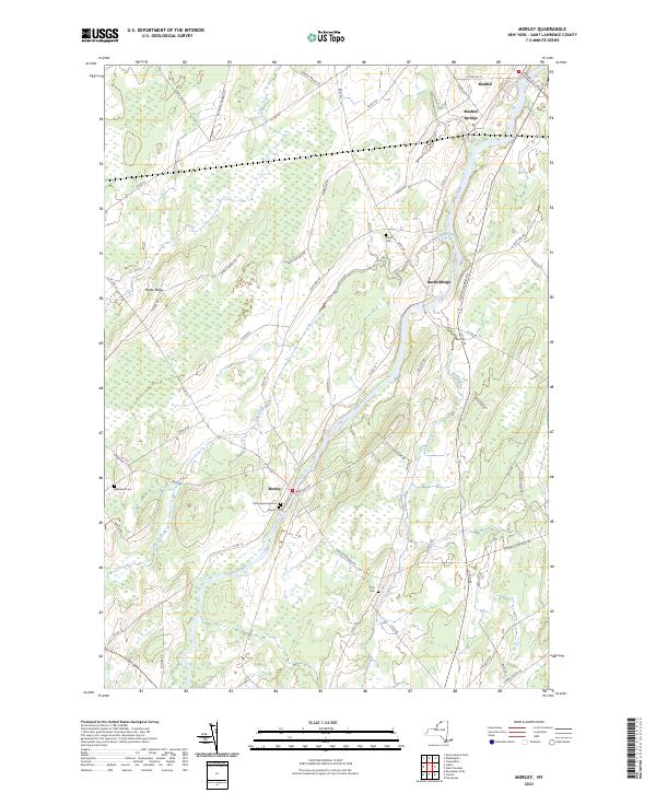
2023 Map of Morley
USGS Topo · Published 2023About this map
The Grass River winds through this rural landscape in St. Lawrence County, anchoring a series of small settlements that reflect the area's agricultural and river-based history. In the southern portion of the quadrangle, Morley serves as a focal point, home to the Trinity Episcopal Cem and Morley Cem. These burial grounds, along with Olin Cem near the small community of Olin, provide significant data for genealogical research. To the north, the landscape transitions through Bucks Bridge toward the northern hub of Madrid and Madrid Springs. The terrain is characterized by subtle features like Morey Ridge and several tributaries including Line Creek and Nettle Creek. The dense network of local routes, such as Canton-Madrid Rd and Co Rd 14, illustrates the longstanding connection between these dispersed hamlets and the surrounding farmland.
Find a feature on this map
57 named features on this map. Tap any name to fly to it.
Don’t see what you’re looking for? This feature index may not catch every label — zoom into the map to look around manually.
Map Details
Editions of this 2023 Morley Map
This is the sole edition of this map. No revisions or reprints were ever made.
Other maps of this area

1904 · Lisbon
USGS Topo · 1:48,000

1904 · Ogdensburg
USGS Topo · 1:62,500

1905 · Waddington
USGS Topo · 1:62,500

1905 · Ogdensburg
USGS Topo · 1:62,500

1906 · Red Mills
USGS Topo · 1:62,500

1910 · Canton
USGS Topo · 1:62,500

1911 · Canton
USGS Topo · 1:62,500

1942 · Waddington
USGS Topo · 1:24,000

1942 · Chase Mills
USGS Topo · 1:24,000

1943 · Rensselaer Falls
USGS Topo · 1:31,680