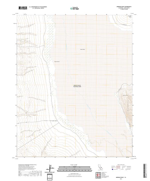
2021 Map of Mormon Point
USGS Topo · Published 2021About this map
Death Valley National Park encompasses the salt flats and desert basins of this 2021 study, where the Amargosa River flows through the heart of Death Valley. The landscape is defined by dramatic elevation changes, transitioning from the broad expanse of the Mojave Desert to the high ridges of the Black Mountains and the Amargosa Range. This area is dominated by the geological transition at Mormon Point, a significant landform where the mountains meet the valley floor. Transportation through this remote section of Inyo County is primarily limited to Badwater Road, which skirts the eastern edge of the basin. The map provides a clear look at the Public Land Survey System grid, including townships t23n r2e and t22n r1e, illustrating how modern administrative boundaries are overlaid upon this austere natural environment.
Find a feature on this map
12 named features on this map. Tap any name to fly to it.
Don’t see what you’re looking for? This feature index may not catch every label — zoom into the map to look around manually.
Map Details
Editions of this 2021 Mormon Point Map
This is the sole edition of this map. No revisions or reprints were ever made.
Other maps of this area

1908 · Furnace Creek
USGS Topo · 1:250,000

1910 · Furnace Creek
USGS Topo · 1:250,000

1933 · Avawatz Mountains
USGS Topo · 1:250,000

1947 · Trona
USGS Topo · 1:250,000

1948 · Trona
USGS Topo · 1:250,000

1948 · Death Valley
USGS Topo · 1:250,000

1950 · Wingate Wash
USGS Topo · 1:62,500

1950 · Confidence Hills
USGS Topo · 1:62,500

1951 · Funeral Peak
USGS Topo · 1:62,500

1952 · Bennetts Well
USGS Topo · 1:62,500