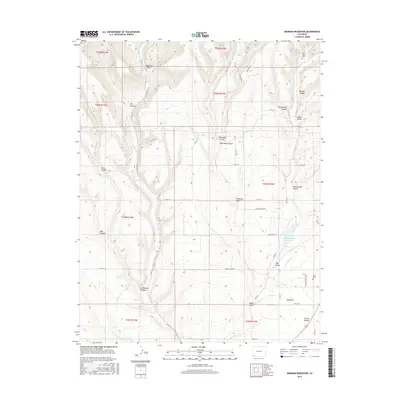
2016 Map of Mormon Reservoir
USGS Topo · Published 2016About this map
Red Mesa serves as a central landmark in this high-altitude landscape of southwestern Colorado, where water management is critical to the local geography. The map documents significant irrigation and storage features like the Mormon Reservoir and the Red Mesa Ward Reservoir, which anchor the agricultural character of the region. The drainage patterns are defined by the La Plata River and various tributaries including Cherry Cr and the San Juan Arroyo, cutting through a series of named landforms such as Wildwater Canyon, Reservoir Canyon, and Church Hollow. Genealogists and local historians will find the locations of the Hay Gulch Cem and Kline Cem valuable for tracing family roots in this rural community. The intricate network of county roads, including Co RD 105 and Co RD 119, illustrates the connectivity between these dispersed canyon and gulch settlements.
Find a feature on this map
49 named features on this map. Tap any name to fly to it.
Don’t see what you’re looking for? This feature index may not catch every label — zoom into the map to look around manually.
Map Details
Editions of this 2016 Mormon Reservoir Map
This is the sole edition of this map. No revisions or reprints were ever made.
Other maps of this area

1895 · La Plata
USGS Topo · 1:62,500

1897 · La Plata
USGS Topo · 1:62,500

1899 · La Plata
USGS Topo · 1:62,500

1908 · La Plata
USGS Topo · 1:62,500

1912 · Soda Canyon
USGS Topo · 1:62,500

1913 · Red Mesa
USGS Topo · 1:62,500

1915 · Soda Canyon
USGS Topo · 1:62,500

1956 · Cortez
USGS Topo · 1:250,000

1958 · Cortez
USGS Topo · 1:250,000

1959 · Cortez
USGS Topo · 1:250,000