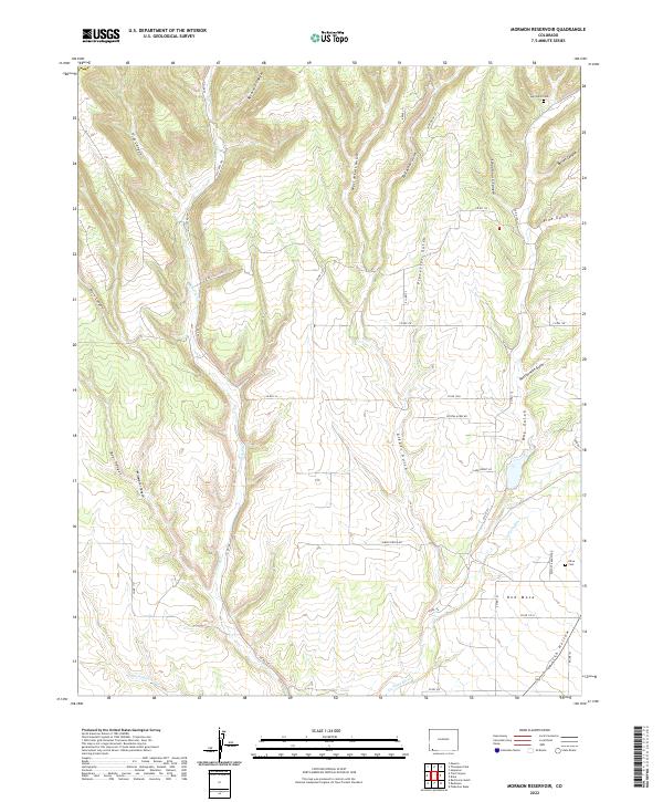
2022 Map of Mormon Reservoir
USGS Topo · Published 2022About this map
Red Mesa occupies the southern reaches of this landscape, where the La Plata River and San Juan Arroyo wind through the high mesas of southwest Colorado. The terrain is deeply incised by a series of drainages, including Reservoir Canyon and Schoolhouse Canyon, revealing a complex network of ranching and access roads like Eastgate Ranch Rd and Land Grant Ln. These routes follow the natural contours of the land, connecting disparate homesteads and grazing areas across the canyons.
Find a feature on this map
47 named features on this map. Tap any name to fly to it.
Don’t see what you’re looking for? This feature index may not catch every label — zoom into the map to look around manually.
Map Details
Editions of this 2022 Mormon Reservoir Map
This is the sole edition of this map. No revisions or reprints were ever made.
Other maps of this area

1895 · La Plata
USGS Topo · 1:62,500

1897 · La Plata
USGS Topo · 1:62,500

1899 · La Plata
USGS Topo · 1:62,500

1908 · La Plata
USGS Topo · 1:62,500

1912 · Soda Canyon
USGS Topo · 1:62,500

1913 · Red Mesa
USGS Topo · 1:62,500

1915 · Soda Canyon
USGS Topo · 1:62,500

1956 · Cortez
USGS Topo · 1:250,000

1958 · Cortez
USGS Topo · 1:250,000

1959 · Cortez
USGS Topo · 1:250,000