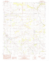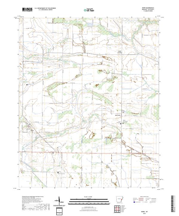
2024 Map of Moro
USGS Topo · Published 2024About this map
The small settlement of Moro and the community of Oak Forest anchor this survey of Lee County, Arkansas. The landscape is defined by a dense network of local roads such as Lee Road 438 and Oak Forrest Rd, connecting scattered family homesteads and farms. Several burial grounds, including Killian Cem, Oak Grove Cem, and Hawkins Chapel Cem, provide essential data for genealogists tracing the early residents of these rural townships. The drainage of the area is characterized by slow-moving waterways like Larkin Creek and Little Hog Tusk Creek, which influence the local agricultural patterns. The presence of Mount Moriah Baptist Church and its associated Mount Moriah Baptist Church Cem indicates the long-standing social and religious hubs that have served this corner of the Arkansas Delta for generations.
Find a feature on this map
61 named features on this map. Tap any name to fly to it.
Don’t see what you’re looking for? This feature index may not catch every label — zoom into the map to look around manually.
Map Details
Editions of this 2024 Moro Map
This is the sole edition of this map. No revisions or reprints were ever made.
Historical Maps of Oak Forest Through Time
2 maps found