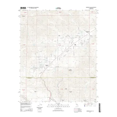
2015 Map of Morongo Valley
USGS Topo · Published 2015About this map
Morongo Valley sits at a geographic transition between the San Bernardino Mountains and the Little San Bernardino Mountains, serving as a high-desert corridor into the Coachella Valley. This 2015 survey documents the modern residential footprint of the area, particularly in Little Morongo Heights and Palm Wells, where a dense network of local roads like Apache Trl and Oskar Ln crisscross the alluvial fans. The landscape is defined by the drainage systems of Big Morongo Cr and Little Morongo Cr, which flow south toward the Big Morongo Wash.
Find a feature on this map
77 named features on this map. Tap any name to fly to it.
Don’t see what you’re looking for? This feature index may not catch every label — zoom into the map to look around manually.
Map Details
Editions of this 2015 Morongo Valley Map
This is the sole edition of this map. No revisions or reprints were ever made.
Other maps of this area

1901 · Southern California Sheet No. 1
USGS Topo · 1:250,000

1901 · San Jacinto
USGS Topo · 1:125,000

1902 · San Gorgonio
USGS Topo · 1:125,000

1904 · Southern California Sheet No. 1
USGS Topo · 1:250,000

1940 · Palm Springs
USGS Topo · 1:62,500

1941 · Edom
USGS Topo · 1:62,500

1944 · Palm Springs
USGS Topo · 1:62,500

1944 · Edom
USGS Topo · 1:62,500

1947 · Santa Ana
USGS Topo · 1:250,000

1949 · Santa Ana
USGS Topo · 1:250,000
Featured Places
- Morongo Valley, CA
- Little Morongo Heights, CA
- Palm Wells, CA
- San Bernardino County, CA
- Riverside County, CA