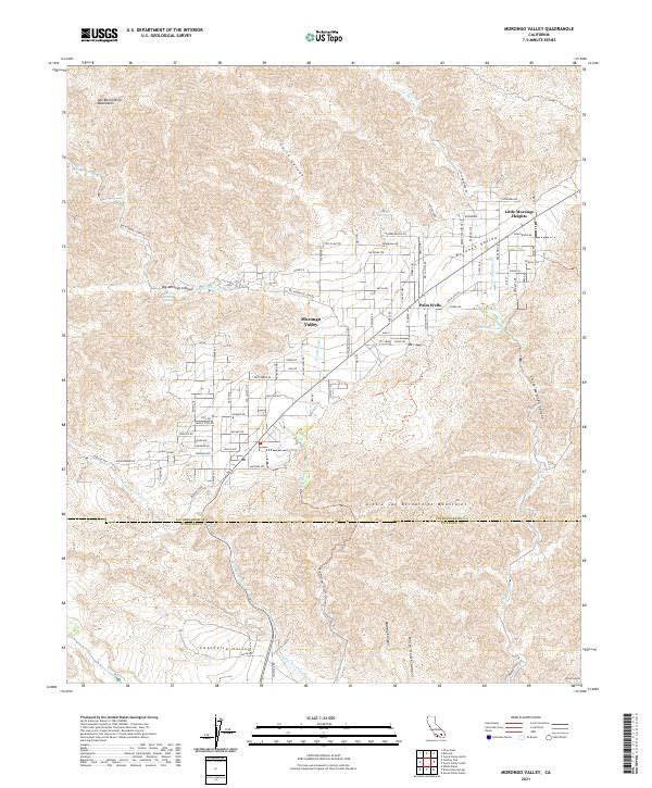
2021 Map of Morongo Valley
USGS Topo · Published 2021About this map
Morongo Valley occupies a strategic high-desert transition between the San Bernardino Mountains and the Little San Bernardino Mountains. This 2021 survey details the residential development of Little Morongo Heights and Palm Wells, illustrating how the community has structured itself along the Highway 62 corridor. The geography is defined by seasonal water systems like Big Morongo Cr and Dry Morongo Wash, which drain toward the Coachella Valley to the south.
Find a feature on this map
61 named features on this map. Tap any name to fly to it.
Don’t see what you’re looking for? This feature index may not catch every label — zoom into the map to look around manually.
Map Details
Editions of this 2021 Morongo Valley Map
This is the sole edition of this map. No revisions or reprints were ever made.
Other maps of this area

1901 · Southern California Sheet No. 1
USGS Topo · 1:250,000

1901 · San Jacinto
USGS Topo · 1:125,000

1902 · San Gorgonio
USGS Topo · 1:125,000

1904 · Southern California Sheet No. 1
USGS Topo · 1:250,000

1940 · Palm Springs
USGS Topo · 1:62,500

1941 · Edom
USGS Topo · 1:62,500

1944 · Palm Springs
USGS Topo · 1:62,500

1944 · Edom
USGS Topo · 1:62,500

1947 · Santa Ana
USGS Topo · 1:250,000

1949 · Santa Ana
USGS Topo · 1:250,000
Featured Places
- Morongo Valley, CA
- Little Morongo Heights, CA
- Palm Wells, CA
- San Bernardino County, CA
- Riverside County, CA