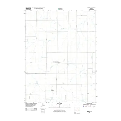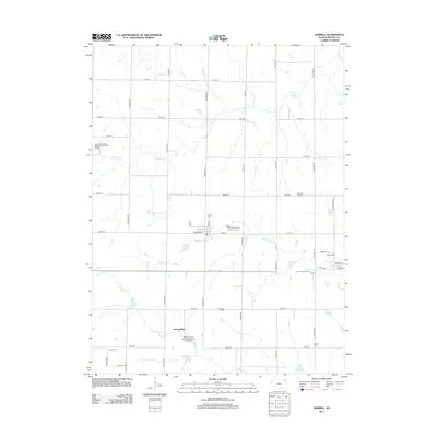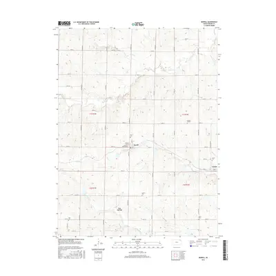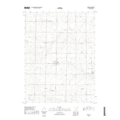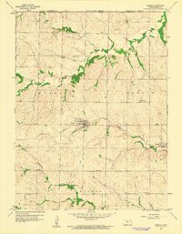
1959 Map of Morrill
USGS Topo · Published 1961About this map
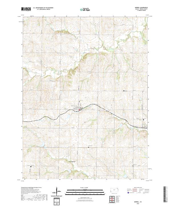
Morrill and Hamlin serve as the primary hubs in this section of Brown County, where the agricultural landscape is deeply etched by a branching network of waterways. The Union Pacific railroad cuts a diagonal path through the territory, connecting these rural centers and passing near Terrapin Creek. The terrain is defined by the drainage of Pedee Creek, Pony Creek, and Mulberry Creek, which create a series of ridges and valleys that dictate the placement of local homesteads and transportation routes.
Find a feature on this map
19 named features on this map. Tap any name to fly to it.
Don’t see what you’re looking for? This feature index may not catch every label — zoom into the map to look around manually.
Map Details
Editions of this 1959 Morrill Map
This is the sole edition of this map. No revisions or reprints were ever made.
Historical Maps of Morrill Through Time
6 maps found