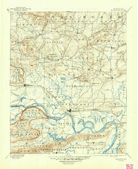
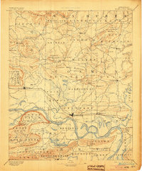
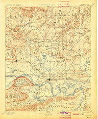
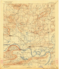
1894 Map of Morrilton
USGS Topo · Published 1945About this map
Morrilton and the surrounding Arkansas River valley appear here in a transition from river-based transit to rail-led development. The Little Rock & Fort Smith R. R. runs parallel to the Arkansas River, connecting riverside communities like Atkins and Plumerville. Despite the presence of the railroad, the landscape remains heavily defined by water crossings and landings essential to 19th-century commerce, such as Galla Rock Fy., Morgan's Fy., and Stouts Ldg.
Find a feature on this map
102 named features on this map. Tap any name to fly to it.
Don’t see what you’re looking for? This feature index may not catch every label — zoom into the map to look around manually.
Map Details
Editions of this 1894 Morrilton Map
5 editions found

Other maps of this area

1879 · Washington
USGS Topo · 1:62,500

1887 · Smyrna
USGS Topo · 1:62,500

1888 · Dardanelle #4
USGS Topo · 1:62,500

1888 · Dardanelle #1
USGS Topo · 1:62,500

1889 · Morrilton No. 3
USGS Topo · 1:62,500

1889 · Treat
USGS Topo · 1:62,500

1889 · Marshall #3
USGS Topo · 1:62,500

1890 · Benton
USGS Topo · 1:125,000

1890 · Hot Springs
USGS Topo · 1:125,000

1890 · Dardanelle
USGS Topo · 1:125,000