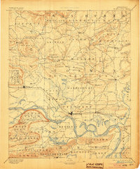
1894 Map of Morrillton
USGS Topo · Published 1904About this map
The Arkansas River serves as the central artery for this late 19th-century landscape, dictated by river crossings and the expanding reach of the Little Rock & Fort Smith R.R. Key transportation nodes like Morrillton and Atkins anchor the rail line, while the river's winding path is punctuated by historic crossings such as Galla Rock Fy., Morgans Fy., and Sevier Fy. These ferries and landings, including Stouts Ldg., highlight an era when water-based transit remained vital for commerce and connectivity between Conway and Perry counties.
Find a feature on this map
117 named features on this map. Tap any name to fly to it.
Don’t see what you’re looking for? This feature index may not catch every label — zoom into the map to look around manually.
Map Details
Editions of this 1894 Morrillton Map
5 editions found

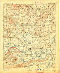
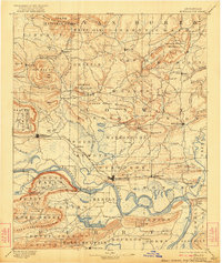
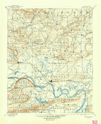
Other maps of this area

1879 · Washington
USGS Topo · 1:62,500

1887 · Smyrna
USGS Topo · 1:62,500

1888 · Dardanelle #4
USGS Topo · 1:62,500

1888 · Dardanelle #1
USGS Topo · 1:62,500

1889 · Morrilton No. 3
USGS Topo · 1:62,500

1889 · Treat
USGS Topo · 1:62,500

1889 · Marshall #3
USGS Topo · 1:62,500

1890 · Benton
USGS Topo · 1:125,000

1890 · Hot Springs
USGS Topo · 1:125,000

1890 · Dardanelle
USGS Topo · 1:125,000