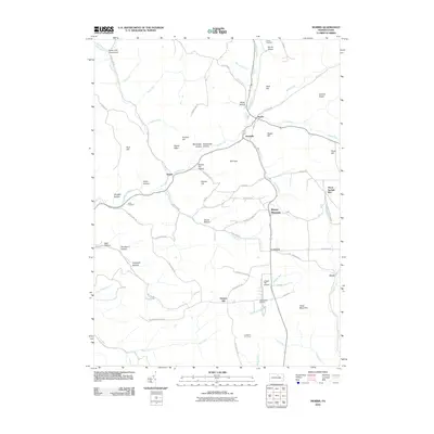
2010 Map of Morris
USGS Topo · Published 2010About this map
Morris and Hoytville serve as the central hubs of activity on this 2010 landscape, situated where Wilson Creek meets the meandering Babb Creek. The settlement pattern follows the narrow valleys and creek beds, as evidenced by the placement of Doane and Texas near local waterways. Higher elevations such as Texas Mountain and Hickory Ridge define the local topography, while numerous "hollows" like McCloskey Hollow and Ayers Hollow suggest a landscape shaped by significant drainage systems.
Find a feature on this map
80 named features on this map. Tap any name to fly to it.
Don’t see what you’re looking for? This feature index may not catch every label — zoom into the map to look around manually.
Map Details
Editions of this 2010 Morris Map
This is the sole edition of this map. No revisions or reprints were ever made.
Other maps of this area

1921 · Trout Run
USGS Topo · 1:62,500

1923 · Trout Run
USGS Topo · 1:62,500

1925 · Blossburg
USGS Topo · 1:62,500

1927 · Blossburg
USGS Topo · 1:62,500

1937 · Waterville
USGS Topo · 1:48,000

1943 · Waterville
USGS Topo · 1:62,500

1944 · Blossburg
USGS Topo · 1:62,500

1944 · Trout Run
USGS Topo · 1:62,500

1946 · Tiadaghton
USGS Topo · 1:24,000

1946 · Antrim
USGS Topo · 1:62,500
Featured Places
- Morris Township, PA
- Duncan Township, PA
- Pine Township, PA
- Lorenton, Morris Township
- Three Springs Run, Morris Township