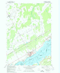
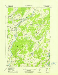
1964 Map of Morrisburg
USGS Topo · Published 1975About this map
Morrisburg serves as a focal point along the northern shore of the St Lawrence River in this mid-1960s survey. The landscape is defined by the massive hydroelectric and seaway infrastructure of Lake St Lawrence, where submerged shoals like Doran Shoal and Goose Neck Island Shoals hint at the river's original character before the seaway's construction. Inland, the rural townships of Williamsburgh and Matilda are dotted with small settlements such as Glen Becker and Muttonville. The industrial and transportation corridors are clearly marked by the Canadian National railway and the Macdonald-Cartier Freeway, which cut through the landscape north of the river. To the south, across the international boundary, the shorelines of Waddington and Louisville appear, highlighting the shared geography of this border region.
Find a feature on this map
43 named features on this map. Tap any name to fly to it.
Don’t see what you’re looking for? This feature index may not catch every label — zoom into the map to look around manually.
Map Details
Editions of this 1964 Morrisburg Map
This is the sole edition of this map. No revisions or reprints were ever made.
Other maps of this area

1904 · Lisbon
USGS Topo · 1:48,000

1905 · Waddington
USGS Topo · 1:62,500

1906 · Red Mills
USGS Topo · 1:62,500

1942 · Waddington
USGS Topo · 1:24,000

1942 · Chase Mills
USGS Topo · 1:24,000

1942 · Murphy Island
USGS Topo · 1:24,000
1943 · Waddington
USGS Topo · 1:31,680
1943 · Murphy Island
USGS Topo · 1:31,680
1943 · Sparrowhawk Point
USGS Topo · 1:31,680
1943 · Chase Mills
USGS Topo · 1:31,680