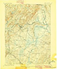
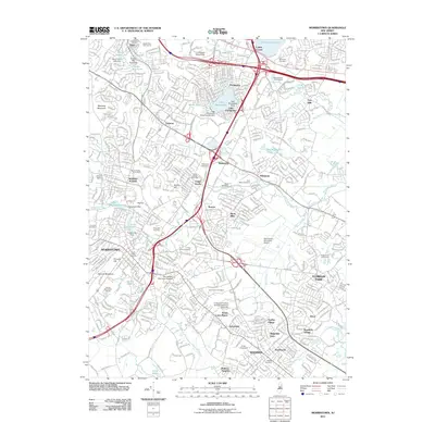
1898 Map of Morristown
USGS Topo · Published 1902About this map
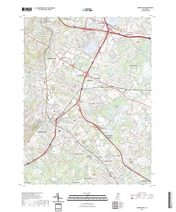
Morris Canal and a dense network of nineteenth-century infrastructure define this northern New Jersey landscape. The canal carves a path through Montville and Lincoln Park, supported by the Pompton Feeder and the waters of the Pompton River. Heavy industry and resource extraction are evident in the north, where the Hibernia Mine RR serves the iron mining settlements near Hibernia and Beach Glen.
Find a feature on this map
122 named features on this map. Tap any name to fly to it.
Don’t see what you’re looking for? This feature index may not catch every label — zoom into the map to look around manually.
Map Details
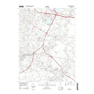
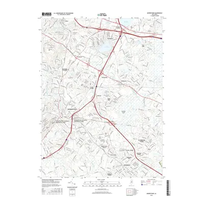
Editions of this 1898 Morristown Map
2 editions found

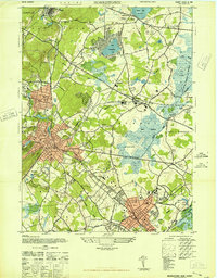
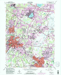
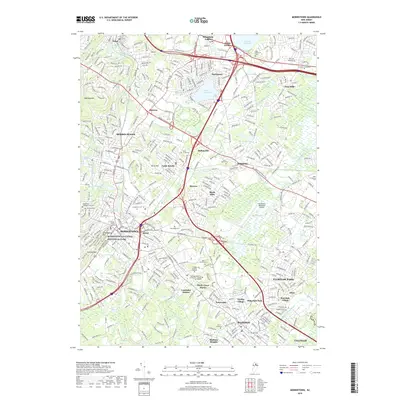
Historical Maps of Wayne Through Time
11 maps found

1888 Morristown
Morris County, NJ

1894 Morristown
Morris County, NJ
1898 Morristown
Morris County, NJ
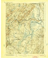
1906 Morristown
Morris County, NJ
1947 Morristown
Morris County, NJ
1954 Morristown
Morris County, NJ
2011 Morristown
Morris County, NJ
2014 Morristown
Morris County, NJ
2016 Morristown
Morris County, NJ
2019 Morristown
Morris County, NJ
2023 Morristown
Morris County, NJ