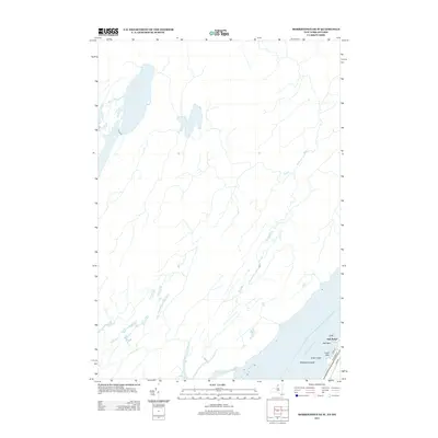
2013 Map of Morristown OE W
USGS Topo · Published 2013About this map
The Saint Lawrence River corridor serves as the primary focal point of this survey, defining the international boundary and the character of the shore. The settlement at Oak Point occupies a prominent position on the mainland, serving as a gateway to the river's local topography. The map details several distinctive islands within the river channel, including Sister Island, Whaleback Island, and the interestingly named Crows Nest. Residential and service access to the riverfront is illustrated by a small network of local thoroughfares such as Cedar Ln and River Ledge Rd, which branch off the primary River Rd. This area is characterized by the immediate transition from the inland landscape to the waterway, where small islands and peninsulas like Oak Point have historically influenced navigation and local settlement patterns along the New York-Ontario border.
Find a feature on this map
9 named features on this map. Tap any name to fly to it.
Don’t see what you’re looking for? This feature index may not catch every label — zoom into the map to look around manually.
Map Details
Editions of this 2013 Morristown OE W Map
This is the sole edition of this map. No revisions or reprints were ever made.
Other maps of this area

1903 · Alexandria Bay
USGS Topo · 1:62,500

1906 · Brier Hill
USGS Topo · 1:62,500

1912 · Hammond
USGS Topo · 1:62,500

1942 · Morristown
USGS Topo · 1:24,000

1943 · Morristown
USGS Topo · 1:31,680

1944 · Hammond
USGS Topo · 1:62,500

1948 · Chippewa Bay
USGS Topo · 1:24,000

1948 · Alexandria Bay
USGS Topo · 1:62,500

1948 · Ogdensburg
USGS Topo · 1:250,000

1949 · Hammond
USGS Topo · 1:62,500