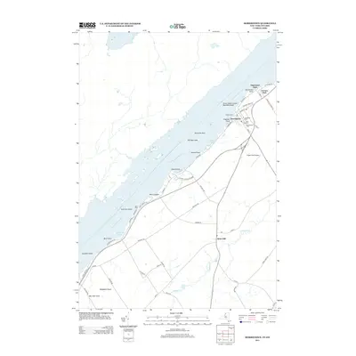
2013 Map of Morristown
USGS Topo · Published 2013About this map
Morristown sits prominently along the Saint Lawrence River, serving as a focal point for this borderland geography. The landscape transitions from the riverfront docks and marinas, such as Wright's Marina, to the inland agricultural and rural reaches of Brier Hill. The mapping of cemetery sites like Sunnyside Cem, Pine Hill Cem, and Greenwood Cem offers critical coordinates for genealogists tracing local families in this river valley.
Find a feature on this map
60 named features on this map. Tap any name to fly to it.
Don’t see what you’re looking for? This feature index may not catch every label — zoom into the map to look around manually.
Map Details
Editions of this 2013 Morristown Map
This is the sole edition of this map. No revisions or reprints were ever made.
Other maps of this area

1903 · Alexandria Bay
USGS Topo · 1:62,500

1906 · Brier Hill
USGS Topo · 1:62,500

1912 · Hammond
USGS Topo · 1:62,500

1942 · Morristown
USGS Topo · 1:24,000

1943 · Morristown
USGS Topo · 1:31,680

1943 · Edwardsville
USGS Topo · 1:31,680
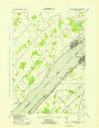
1943 · Ogdensburg West
USGS Topo · 1:31,680

1944 · Hammond
USGS Topo · 1:62,500

1948 · Chippewa Bay
USGS Topo · 1:24,000

1948 · Alexandria Bay
USGS Topo · 1:62,500