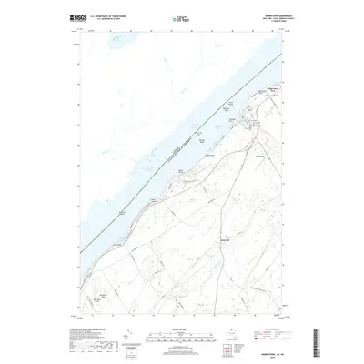
2019 Map of Morristown
USGS Topo · Published 2019About this map
The Saint Lawrence River serves as the international boundary between Canada and the United States, defining the northern edge of this New York landscape. Along its banks, the village of Morristown centers a cluster of early cemeteries, including Sunnyside Cem, Pine Hill Cem, and Greenwood Cem, which provide significant data points for genealogical research. Further inland, the settlement of Brier Hill marks a higher elevation above the river valley.
Find a feature on this map
64 named features on this map. Tap any name to fly to it.
Don’t see what you’re looking for? This feature index may not catch every label — zoom into the map to look around manually.
Map Details
Editions of this 2019 Morristown Map
This is the sole edition of this map. No revisions or reprints were ever made.
Other maps of this area

1903 · Alexandria Bay
USGS Topo · 1:62,500

1906 · Brier Hill
USGS Topo · 1:62,500

1912 · Hammond
USGS Topo · 1:62,500

1942 · Morristown
USGS Topo · 1:24,000

1943 · Morristown
USGS Topo · 1:31,680

1943 · Edwardsville
USGS Topo · 1:31,680
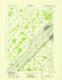
1943 · Ogdensburg West
USGS Topo · 1:31,680

1944 · Hammond
USGS Topo · 1:62,500

1948 · Chippewa Bay
USGS Topo · 1:24,000

1948 · Alexandria Bay
USGS Topo · 1:62,500