Loading...
Loading map...2024 Map of Morrisville
USGS Topo · Published 2024About this map
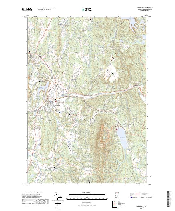
Morrisville and Hyde Park serve as the primary hubs of this Lamoille County landscape, situated along the winding course of the Lamoille River. The presence of the Lamoille County Courthouse in Hyde Park anchors the area's civic identity, while the surrounding hills are dotted with family-named landmarks and old burying grounds. Genealogists can find numerous sites including the Jedidia Hyde Cem, Saint Teresa Cem, and the Randolph-Herrick Cem near the Two Tails Airport.
Find a feature on this map
138 named features on this map. Tap any name to fly to it.
Don’t see what you’re looking for? This feature index may not catch every label — zoom into the map to look around manually.
Map Details
Date Portrayed2024
Date Published2024
PublisherU.S. Geological Survey
Map TypeTopographic
Scale1:24000
Physical Dimensions24 x 29 inches
Editions of this 2024 Morrisville Map
This is the sole edition of this map. No revisions or reprints were ever made.
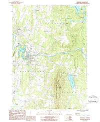
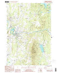
Historical Maps of Cadys Falls Through Time
3 maps found
Featured Locations
Source Details
SourceU.S. Geological Survey
CopyrightPublic Domain