Loading...
Loading map...1952 Map of Morton
USGS Topo · Published 1977About this map
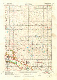
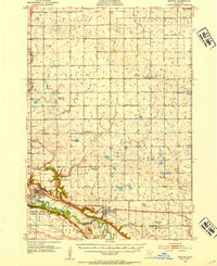
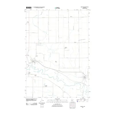
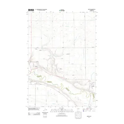
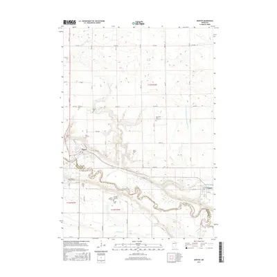
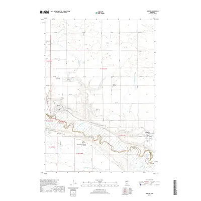
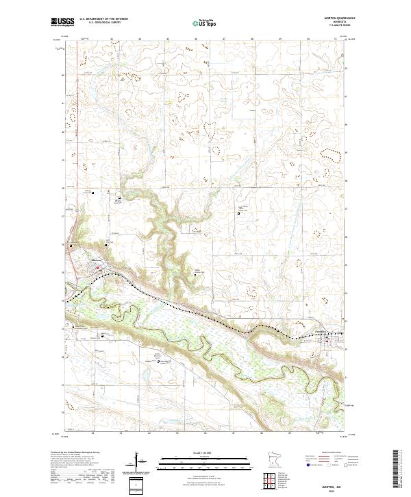
The Minnesota River valley carves a deep path through the southwest portion of this Renville County landscape, defining the character of Morton and Franklin. The river's edge is marked by notable sites such as Birch Cooley State Park and the Lower Sioux Indian Community, while the surrounding prairie is divided into distinct townships like Bird Island, Birch Cooley, and Palmyra. The Minneapolis and St Louis railroad tracks follow the river's northern bank, connecting the grain-handling economy of the river towns.
Find a feature on this map
48 named features on this map. Tap any name to fly to it.
Don’t see what you’re looking for? This feature index may not catch every label — zoom into the map to look around manually.
Map Details
Date Portrayed1952
Date Published1977
PublisherU.S. Geological Survey
Map TypeTopographic
Scale1:62,500
Physical Dimensions15.3 x 21.6 inches
Editions of this 1952 Morton Map
2 editions found
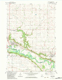
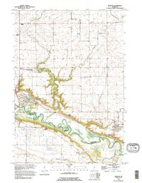
Historical Maps of Franklin Through Time
8 maps found
Featured Locations
Source Details
SourceU.S. Geological Survey
CopyrightPublic Domain