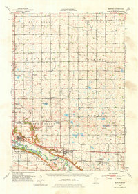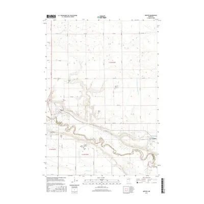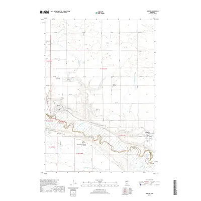
1983 Map of Morton
USGS Topo · Published 1983About this map
The Minnesota River valley carves a deep path through the landscape of the early 1980s, anchoring a region defined by historical conflict and agrarian development. The Birch Coulee Battlefield Historic Site stands as a prominent landmark on the northern bluffs, overlooking the complex terrain where Birch Coulee Creek and Purgatory Cr descend into the river basin. This area is characterized by a mix of intensive land management and preserved cultural sites, including the Lower Sioux Indian Reservation and the nearby Whipple Mission.
Find a feature on this map
37 named features on this map. Tap any name to fly to it.
Don’t see what you’re looking for? This feature index may not catch every label — zoom into the map to look around manually.
Map Details
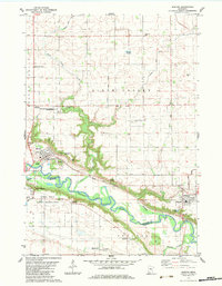
Editions of this 1983 Morton Map
This is the sole edition of this map. No revisions or reprints were ever made.
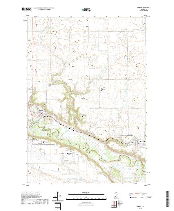
Historical Maps of Franklin Through Time
8 maps found