Loading...
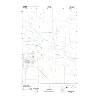
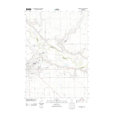
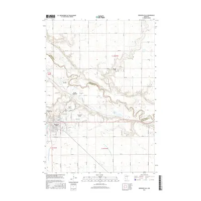
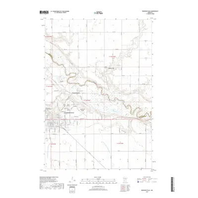
Loading map...1982 Map of Redwood Falls
USGS Topo · Published 1983About this map
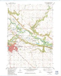
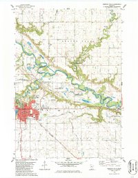
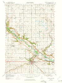
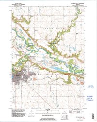
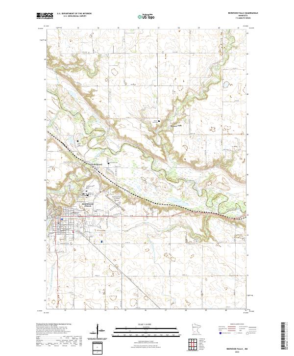
The Minnesota River valley carves a deep path through this early 1980s landscape, serving as a natural divider between Redwood and Renville counties. Along its banks, the Old Indian Treaty Boundary marks a significant historical line, while the Lower Sioux Indian Reservation occupies the river's southern bluffs. In Redwood Falls, the civic heart is defined by the Courthouse, Hospital, and the Johnson Park Fairground.
Find a feature on this map
43 named features on this map. Tap any name to fly to it.
Don’t see what you’re looking for? This feature index may not catch every label — zoom into the map to look around manually.
Map Details
Date Portrayed1982
Date Published1983
PublisherU.S. Geological Survey
Map TypeTopographic
Scale1:24,000
Physical Dimensions21.53 x 27.23 inches
Editions of this 1982 Redwood Falls Map
2 editions found
Historical Maps of Redwood Falls Through Time
8 maps found
Featured Locations
Source Details
SourceU.S. Geological Survey
CopyrightPublic Domain