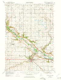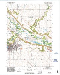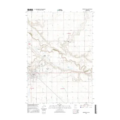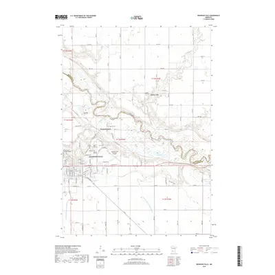
1982 Map of Redwood Falls
USGS Topo · Published 1986About this map
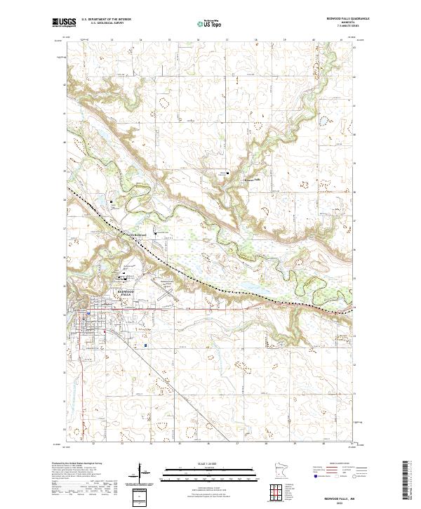
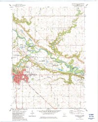
The Minnesota River carves a deep, winding valley through this landscape, marking the historic and political boundary between Redwood and Renville counties. At the heart of the region, the city of Redwood Falls sits at the confluence where Redwood River (implied by Lake Redwood) meets the larger valley. The presence of the Old Indian Treaty Boundary and the Lower Sioux Indian Reservation reflects the layered heritage of the area, while the Chicago and North Western railroad lines show the infrastructure that supported the local economy. Settlement patterns vary from the dense street grid of the county seat to the smaller outlying community of Beaver Falls. Significant public lands including the Ramsey Park and the Honner State Wildlife Management Area preserve large tracts of the river valley's bottomlands and bluffs.
Find a feature on this map
49 named features on this map. Tap any name to fly to it.
Don’t see what you’re looking for? This feature index may not catch every label — zoom into the map to look around manually.
Map Details
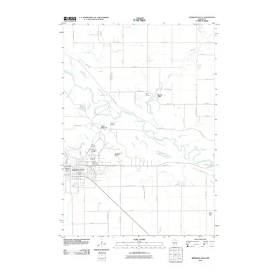
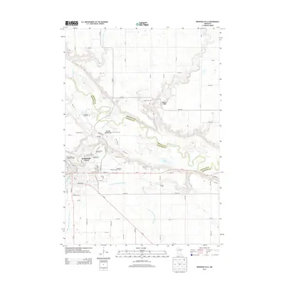
Editions of this 1982 Redwood Falls Map
2 editions found
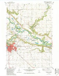
Historical Maps of Redwood Falls Through Time
8 maps found