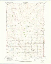
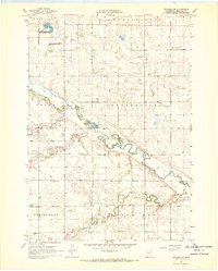
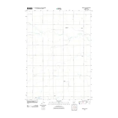
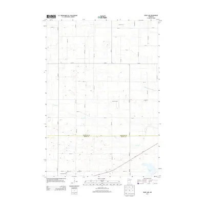
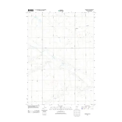
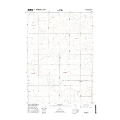
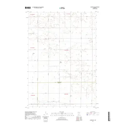
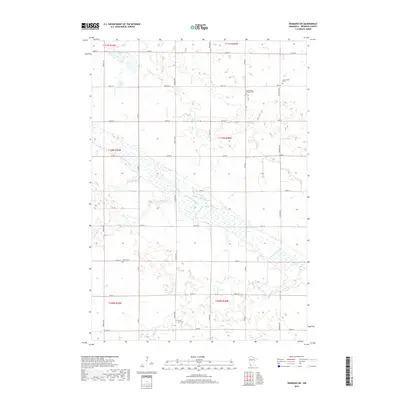
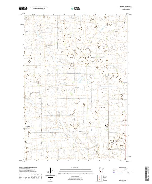
1967 Map of Rowena
USGS Topo · Published 1968About this map
The Chicago and North Western railway cuts across this Minnesota prairie landscape, connecting the town of Wabasso and the settlement of Rowena. The terrain is characterized by a high density of man-made drainage systems, such as Judicial Ditch No 5 and several county-numbered ditches, which transformed this region into a productive agricultural area. Conservation efforts are anchored by the Luescher-Barnum State Wildlife Management Area, preserving local habitat amidst the surrounding grid of section lines and gravel pits.
Find a feature on this map
29 named features on this map. Tap any name to fly to it.
Don’t see what you’re looking for? This feature index may not catch every label — zoom into the map to look around manually.
Map Details
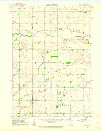
Editions of this 1967 Rowena Map
This is the sole edition of this map. No revisions or reprints were ever made.
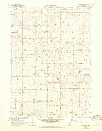
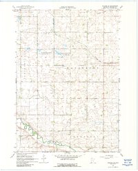
Historical Maps of Wabasso Through Time
36 maps found
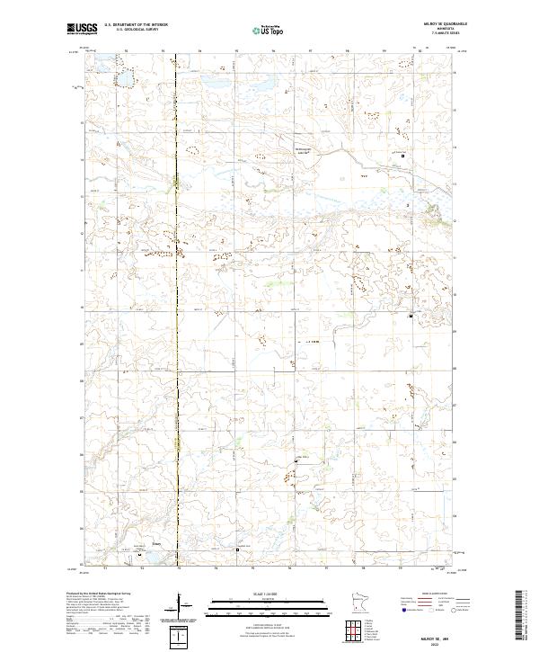
1962 Milroy SE
Redwood County, MN
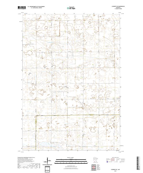
1967 Clements SE
Redwood County, MN
1967 Rowena
Redwood County, MN
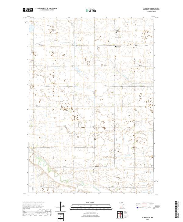
1967 Wabasso SE
Redwood County, MN
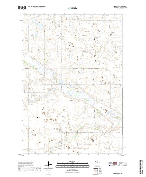
1967 Wabasso SW
Redwood County, MN
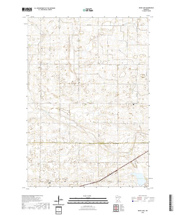
1983 Boise Lake
Redwood County, MN
2010 Boise Lake
Redwood County, MN
2010 Clements SE
Redwood County, MN
2010 Milroy SE
Redwood County, MN
2010 Rowena
Redwood County, MN
2010 Wabasso SE
Redwood County, MN
2010 Wabasso SW
Redwood County, MN
2013 Boise Lake
Redwood County, MN
2013 Clements SE
Redwood County, MN

2013 Milroy SE
Redwood County, MN
2013 Rowena
Redwood County, MN
2013 Wabasso SE
Redwood County, MN
2013 Wabasso SW
Redwood County, MN
2016 Boise Lake
Redwood County, MN
2016 Clements SE
Redwood County, MN
2016 Milroy SE
Redwood County, MN
2016 Rowena
Redwood County, MN
2016 Wabasso SE
Redwood County, MN
2016 Wabasso SW
Redwood County, MN
2019 Boise Lake
Redwood County, MN
2019 Clements SE
Redwood County, MN
2019 Milroy SE
Redwood County, MN
2019 Rowena
Redwood County, MN
2019 Wabasso SE
Redwood County, MN
2019 Wabasso SW
Redwood County, MN
2022 Boise Lake
Redwood County, MN
2022 Clements SE
Redwood County, MN
2022 Milroy SE
Redwood County, MN
2022 Rowena
Redwood County, MN
2022 Wabasso SE
Redwood County, MN
2022 Wabasso SW
Redwood County, MN