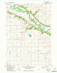
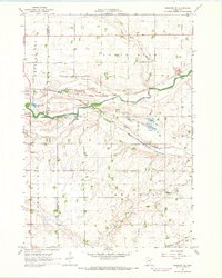
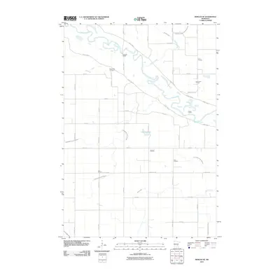
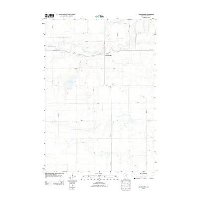
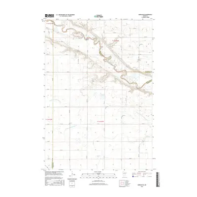
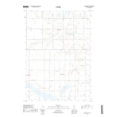
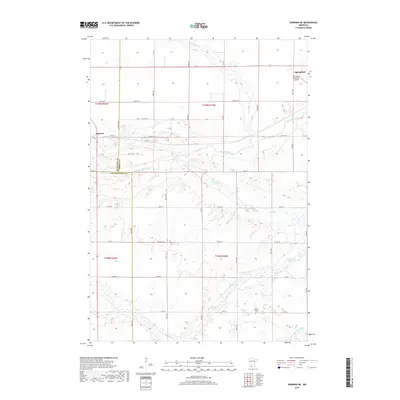
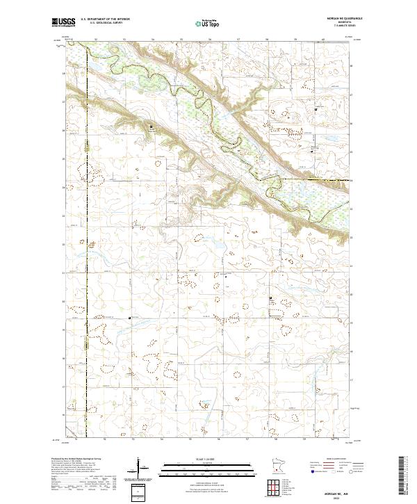
1982 Map of Morgan NE
USGS Topo · Published 1983About this map
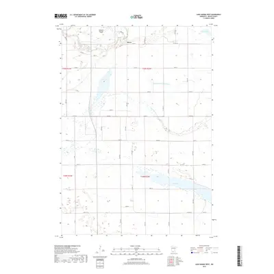
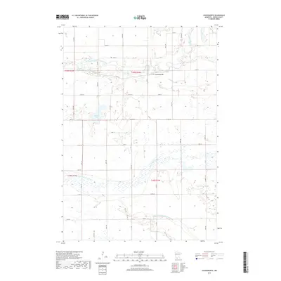
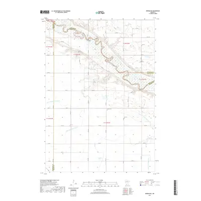
The Minnesota River meanders through a deep valley at the intersection of several counties in this early 1980s landscape. This survey documents the complex water management systems of the era, where the Old Indian Treaty Boundary cuts across a grid of agricultural lands defined by the Judicial Ditch No 17, Judicial Ditch No 18, and Judicial Ditch No 29.
Find a feature on this map
32 named features on this map. Tap any name to fly to it.
Don’t see what you’re looking for? This feature index may not catch every label — zoom into the map to look around manually.
Map Details
Editions of this 1982 Morgan NE Map
This is the sole edition of this map. No revisions or reprints were ever made.
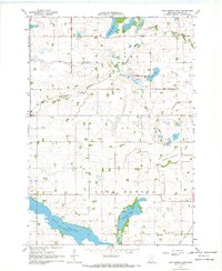
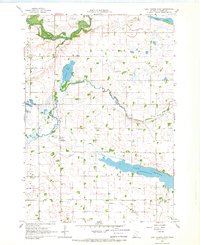
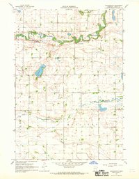
Historical Maps of Nicollet County Through Time
30 maps found
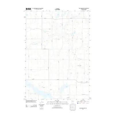
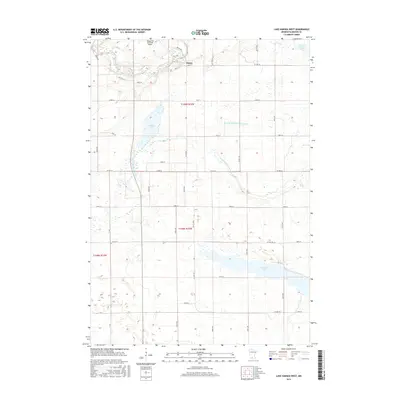
1967 Lake Hanska East
Brown County, MN
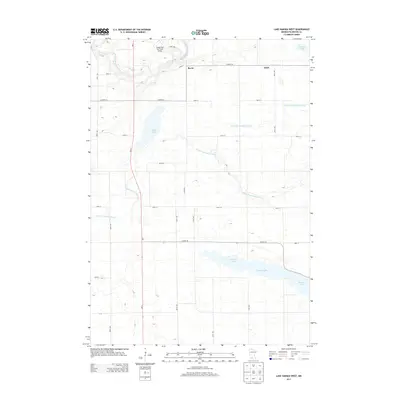
1967 Lake Hanska West
Brown County, MN
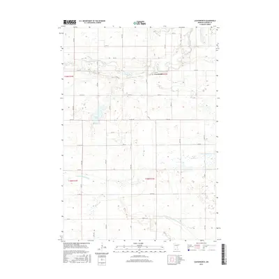
1967 Leavenworth
Brown County, MN
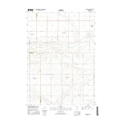
1967 Sanborn NE
Brown County, MN
1982 Morgan NE
Brown County, MN
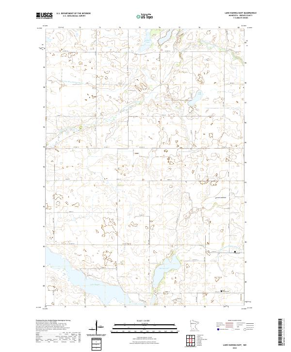
2010 Lake Hanska East
Brown County, MN
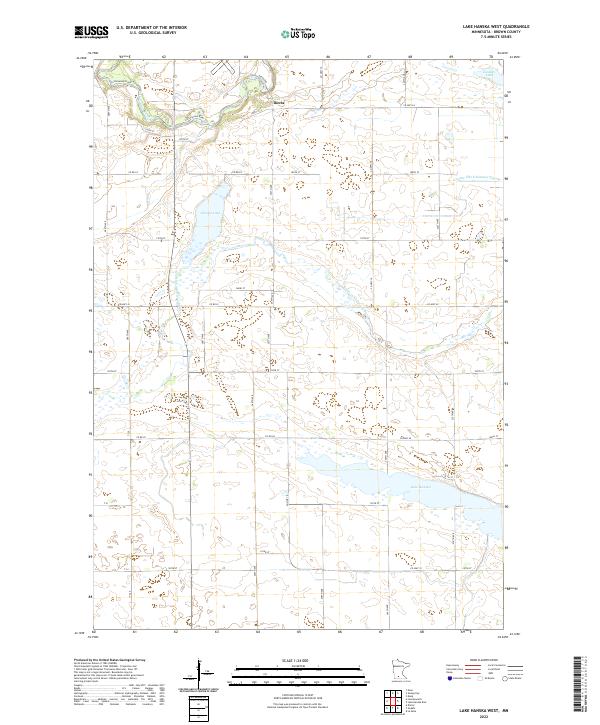
2010 Lake Hanska West
Brown County, MN
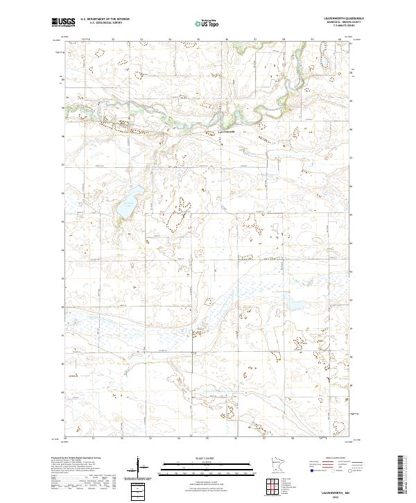
2010 Leavenworth
Brown County, MN
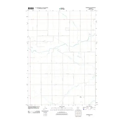
2010 Morgan NE
Brown County, MN
2010 Sanborn NE
Brown County, MN
2013 Lake Hanska East
Brown County, MN
2013 Lake Hanska West
Brown County, MN
2013 Leavenworth
Brown County, MN
2013 Morgan NE
Brown County, MN
2013 Sanborn NE
Brown County, MN
2016 Lake Hanska East
Brown County, MN
2016 Lake Hanska West
Brown County, MN
2016 Leavenworth
Brown County, MN
2016 Morgan NE
Brown County, MN
2016 Sanborn NE
Brown County, MN
2019 Lake Hanska East
Brown County, MN
2019 Lake Hanska West
Brown County, MN
2019 Leavenworth
Brown County, MN
2019 Morgan NE
Brown County, MN
2019 Sanborn NE
Brown County, MN
2022 Lake Hanska East
Brown County, MN
2022 Lake Hanska West
Brown County, MN
2022 Leavenworth
Brown County, MN
2022 Morgan NE
Brown County, MN
2022 Sanborn NE
Brown County, MN