Loading...
Loading map...2024 Map of Morton
USGS Topo · Published 2024About this map
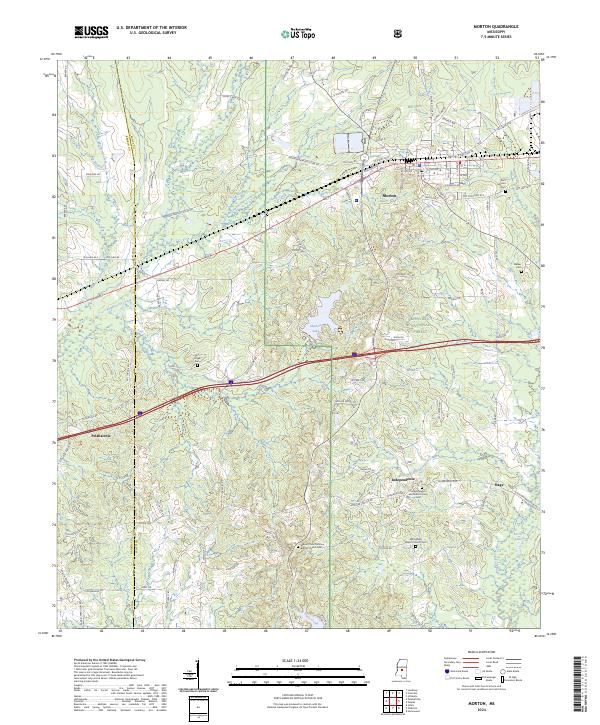
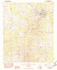
Morton serves as a central hub in this section of Scott and Rankin Counties, positioned where the Bienville National Forest meets active agricultural and timber lands. The settlement pattern is defined by family-named cemeteries and rural congregations, such as Independence Methodist Church Cem and the Mount Olive Primitive Baptist Church Cem, which anchor the smaller communities of Independence and Stage.
Find a feature on this map
93 named features on this map. Tap any name to fly to it.
Don’t see what you’re looking for? This feature index may not catch every label — zoom into the map to look around manually.
Map Details
Date Portrayed2024
Date Published2024
PublisherU.S. Geological Survey
Map TypeTopographic
Scale1:24000
Physical Dimensions24 x 29 inches
Editions of this 2024 Morton Map
This is the sole edition of this map. No revisions or reprints were ever made.
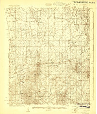
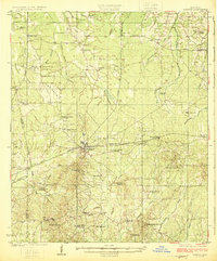
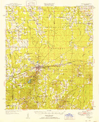
Historical Maps of Independence Through Time
5 maps found
Featured Locations
Source Details
SourceU.S. Geological Survey
CopyrightPublic Domain