Loading...
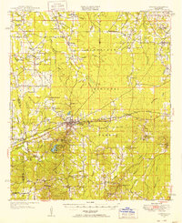
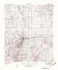
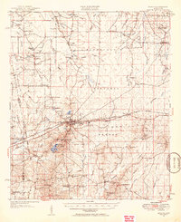
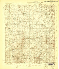
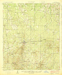
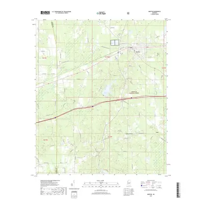
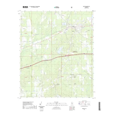
Loading map...1951 Map of Morton
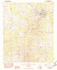
USGS Topo · Published 1951About this map
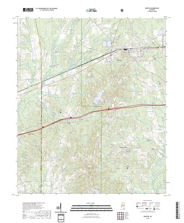
Morton serves as the central hub of this 1951 revision, where the Illinois Central Railroad and a major gas pipe line intersect. The landscape is defined by the transition from the open Bald Prairie and Line Prairie in the west to the dense timber of the Bienville National Forest in the east. Local life is documented through a dense network of rural institutions, including the Truelight Sch, Branch Sch, and Armstrong Sch, alongside numerous country churches like Pilgrim Rest Ch and St Johns Ch.
Find a feature on this map
73 named features on this map. Tap any name to fly to it.
Don’t see what you’re looking for? This feature index may not catch every label — zoom into the map to look around manually.
Map Details
Date Portrayed1951
Date Published1951
PublisherU.S. Geological Survey
Map TypeTopographic
Scale1:62,500
Physical Dimensions16.9 x 20.7 inches
Editions of this 1951 Morton Map
3 editions found
Historical Maps of Forest Through Time
9 maps found
Featured Locations
Source Details
SourceU.S. Geological Survey
CopyrightPublic Domain