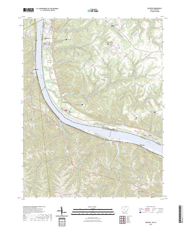
2023 Map of Moscow
USGS Topo · Published 2023About this map
The Ohio River carves a deep valley through this borderland, separating the settlements of Moscow and Neville in Ohio from the steep hillsides of Kentucky. The landscape is defined by the winding paths of Maple Creek and Little Indian Creek, which have cut significant valleys into the upland terrain of Fruit Ridge and Opossum Hollow. This modern survey reveals a dense concentration of historical burial sites, including the Old Calvary Cem, New Calvary Cem, and the Chilo-McKendree Chapel Cem, suggesting a long-standing pattern of community and faith along these river bluffs.
Find a feature on this map
104 named features on this map. Tap any name to fly to it.
Don’t see what you’re looking for? This feature index may not catch every label — zoom into the map to look around manually.
Map Details
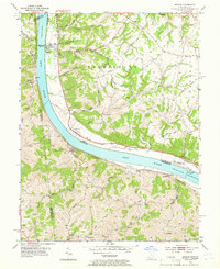
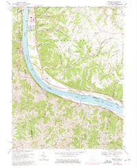
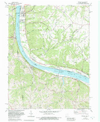
Editions of this 2023 Moscow Map
This is the sole edition of this map. No revisions or reprints were ever made.
Historical Maps of Johnsville Through Time
4 maps found
Featured Locations
- Franklin Township, OH
- Foster, KY
- Moscow, Washington Township
- Neville, Washington Township
- Chilo, Franklin Township