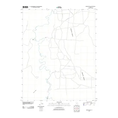
2010 Map of Moses Rock
USGS Topo · Published 2010About this map
Chinle Creek carves a winding path through this corner of the Shiprock Agency, defining a landscape of high plateaus and secluded canyons at the start of the 21st century. The map centers on the prominent geologic landmark of Moses Rock, surrounded by the elevated terrain of the Nokaito Bench and the southwestern incline of Garnet Ridge. Human presence is sparse, marked primarily by a network of rural roads such as Chinle Creek Rd and Canyon Dr that navigate the difficult topography.
Find a feature on this map
13 named features on this map. Tap any name to fly to it.
Don’t see what you’re looking for? This feature index may not catch every label — zoom into the map to look around manually.
Map Details
Editions of this 2010 Moses Rock Map
This is the sole edition of this map. No revisions or reprints were ever made.
Other maps of this area

1886 · Abajo
USGS Topo · 1:250,000

1892 · Abajo
USGS Topo · 1:250,000

1892 · Canyon De Chelly
USGS Topo · 1:250,000

1893 · Abajo
USGS Topo · 1:250,000

1952 · Bluff 3 SE
USGS Topo · 1:24,000

1952 · Dinnehotso
USGS Topo · 1:62,500

1952 · Setsiltso Springs 2 NE
USGS Topo · 1:24,000

1954 · Shiprock
USGS Topo · 1:250,000

1956 · Cortez
USGS Topo · 1:250,000

1958 · Cortez
USGS Topo · 1:250,000