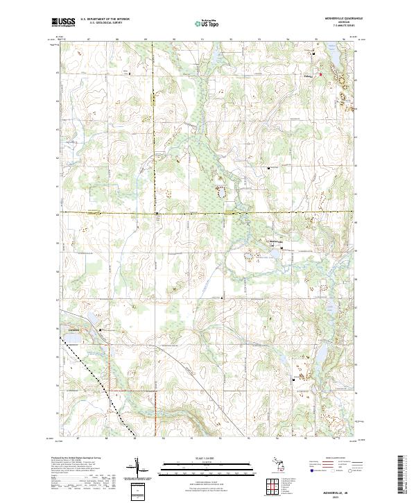
2023 Map of Mosherville
USGS Topo · Published 2023About this map
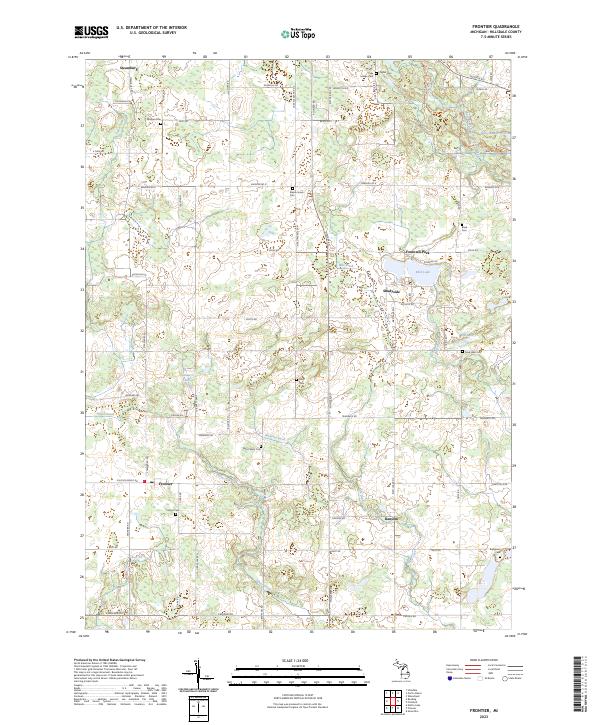
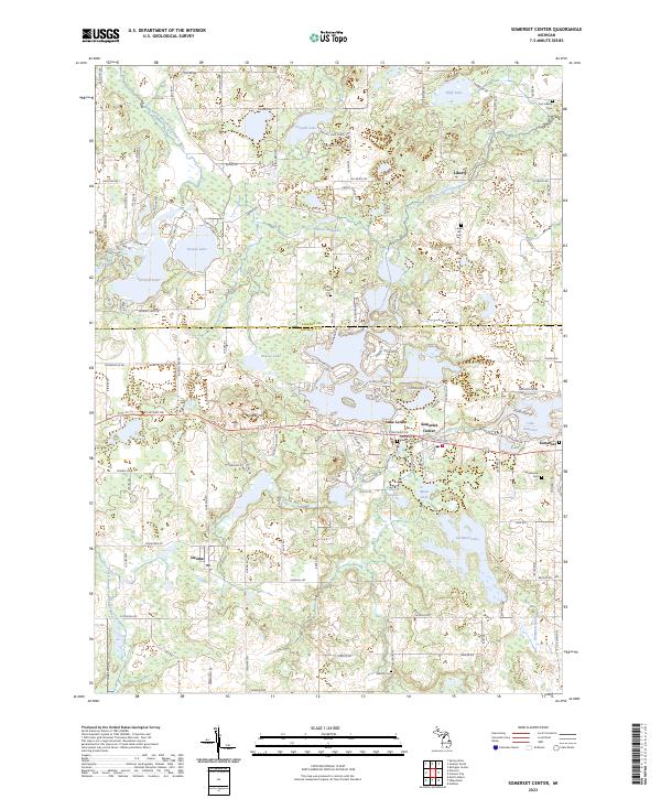
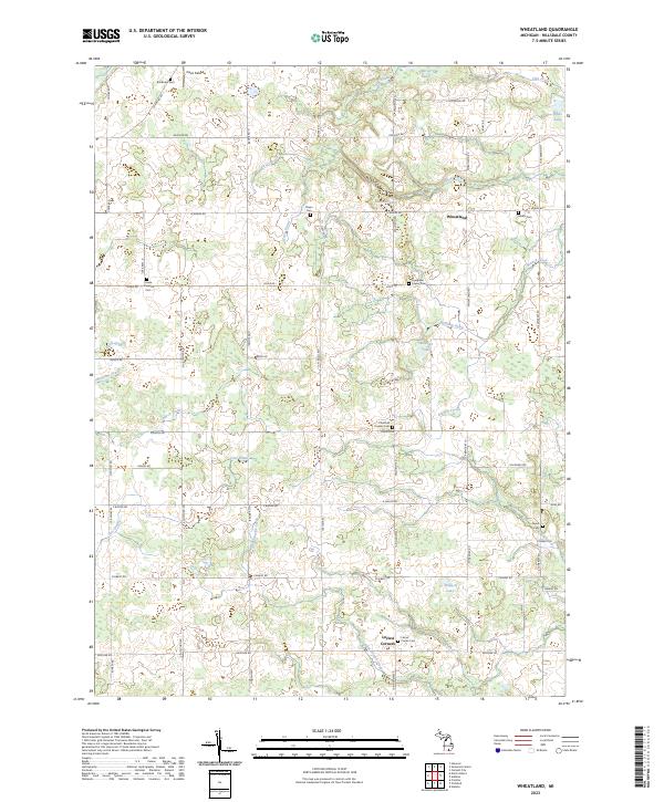
Pulaski and Mosherville sit at the intersection of several county lines where the South Branch Kalamazoo River and the Saint Joseph River headwaters define the drainage of southern Michigan. This area is heavily marked by small rural burial grounds, including the Hiram King Cem, Fisher Cem, and Buck Cem, which suggest a long-established pattern of family farmsteads and small crossroads communities. The landscape is characterized by numerous small bodies of water such as Goose Lake, Mosherville Lake, and Wilbur Lake, interspersed with an extensive network of drainage features like the Conger Drain. The road system follows a strict grid of section lines, with many routes like 30 Mile Rd and Folks Rd serving as the primary connectors between these agricultural settlements and the larger township centers.
Find a feature on this map
70 named features on this map. Tap any name to fly to it.
Don’t see what you’re looking for? This feature index may not catch every label — zoom into the map to look around manually.
Map Details
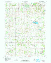
Editions of this 2023 Mosherville Map
This is the sole edition of this map. No revisions or reprints were ever made.
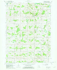
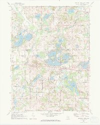
Historical Maps of Pulaski Township Through Time
8 maps found
Featured Locations
- Litchfield, MI
- Scipio Township, MI
- Homer Township, MI
- Mosherville, Scipio Township
- Pulaski, Pulaski Township