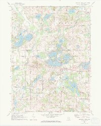
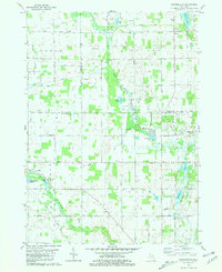
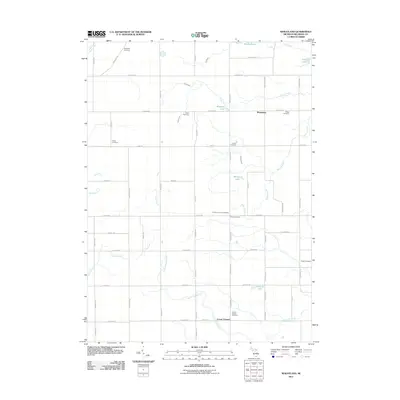
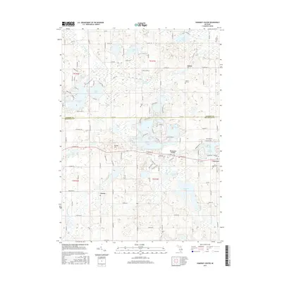
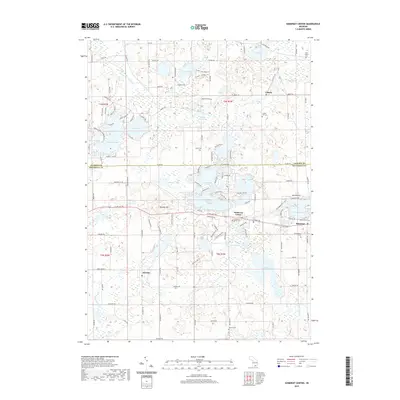
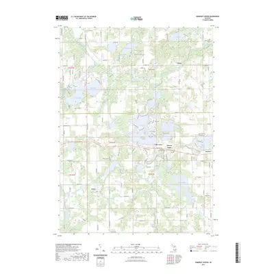
1971 Map of Somerset Center
USGS Topo · Published 1973About this map
Somerset Center and the village of Jerome anchor this 1970s survey of southern Michigan's lake country along the border of Jackson and Hillsdale counties. The landscape is defined by an intricate network of water bodies, including the headwaters of the Grand River and the North Branch Kalamazoo River. Local commerce and transportation are represented by several Gravel Pit locations and the visible remnants of an Old Railroad Grade cutting through the terrain south of Bunday Hill.
Find a feature on this map
51 named features on this map. Tap any name to fly to it.
Don’t see what you’re looking for? This feature index may not catch every label — zoom into the map to look around manually.
Map Details
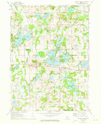
Editions of this 1971 Somerset Center Map
2 editions found
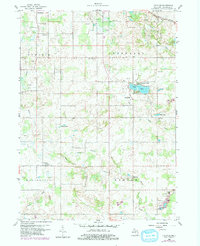
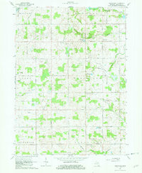
Historical Maps of Somerset Through Time
24 maps found
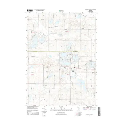
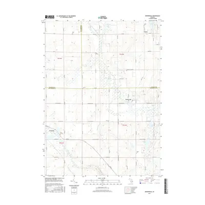
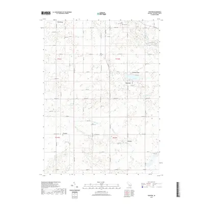
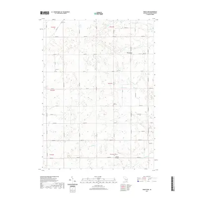
1959 Frontier
Hillsdale County, MI
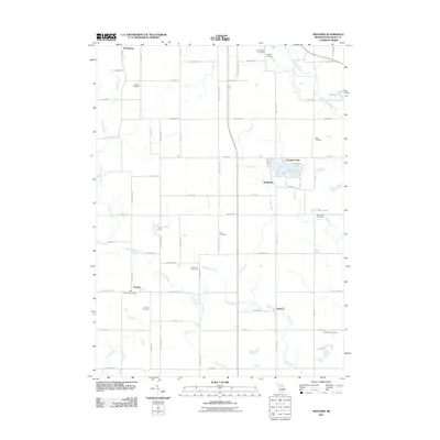
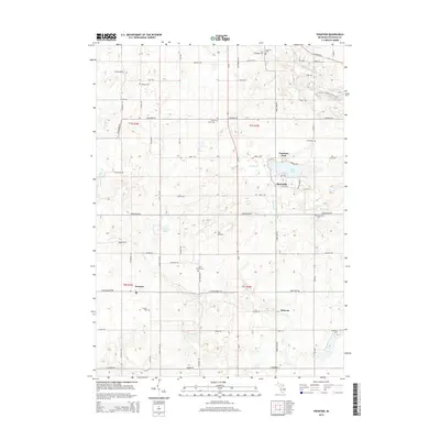
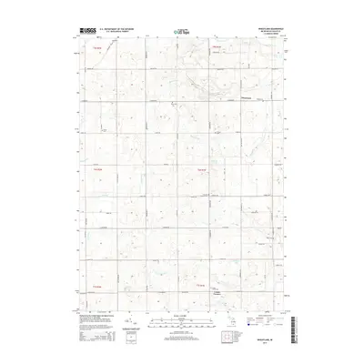
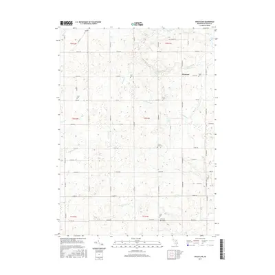
1962 Wheatland
Hillsdale County, MI
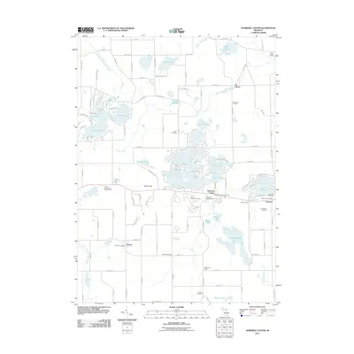
1971 Somerset Center
Hillsdale County, MI
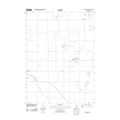
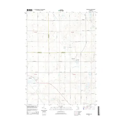
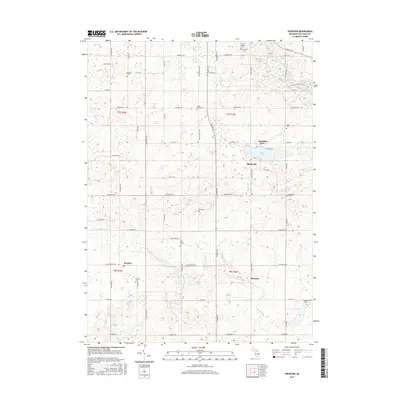
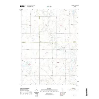
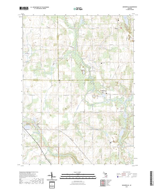
1981 Mosherville
Hillsdale County, MI
2011 Frontier
Hillsdale County, MI
2011 Mosherville
Hillsdale County, MI
2011 Somerset Center
Hillsdale County, MI
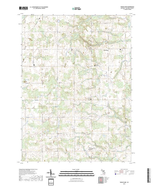
2011 Wheatland
Hillsdale County, MI
2014 Frontier
Hillsdale County, MI
2014 Mosherville
Hillsdale County, MI
2014 Somerset Center
Hillsdale County, MI
2014 Wheatland
Hillsdale County, MI
2017 Frontier
Hillsdale County, MI
2017 Mosherville
Hillsdale County, MI
2017 Somerset Center
Hillsdale County, MI
2017 Wheatland
Hillsdale County, MI
2019 Frontier
Hillsdale County, MI
2019 Mosherville
Hillsdale County, MI
2019 Somerset Center
Hillsdale County, MI
2019 Wheatland
Hillsdale County, MI
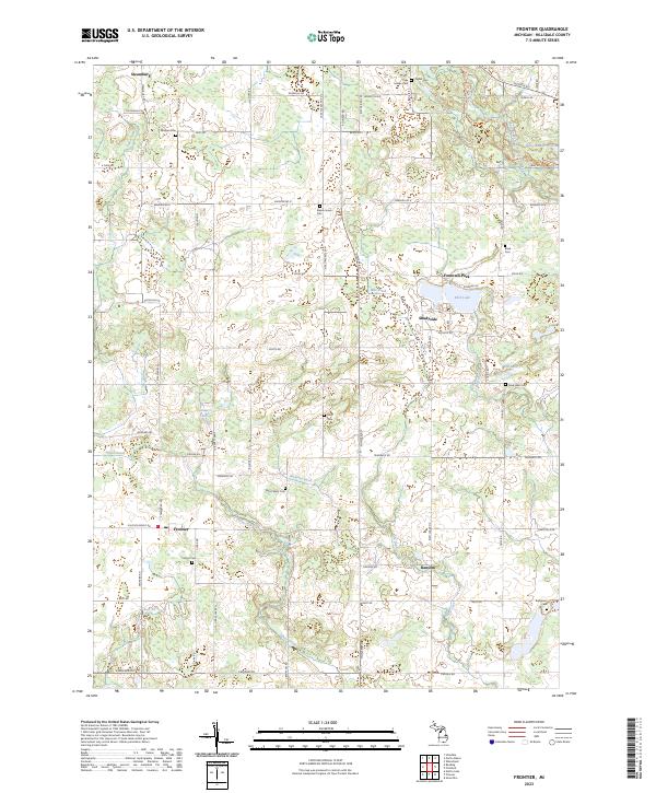
2023 Frontier
Hillsdale County, MI
2023 Mosherville
Hillsdale County, MI
2023 Somerset Center
Hillsdale County, MI
2023 Wheatland
Hillsdale County, MI
Featured Locations
- Moscow Township, MI
- Somerset Township, MI
- Jerome, Somerset Township
- Somerset, Somerset Township
- Liberty, Liberty Township