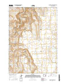
2017 Map of Mosquito Mountain
USGS Topo · Published 2017About this map
The Malheur River cuts through the northwest corner of this high desert landscape, carving deep drainage channels like Slaughter Gulch and Big Mosquito Canyon. Water management is the central theme of this 2017 survey, visible in a complex network of small reservoirs and irrigation infrastructure including the Easterday Reservoir, Parks Reservoir, and the Easterday Ditch. These features indicate the critical role of moisture in sustaining the livestock and agriculture of this portion of Malheur County.
Find a feature on this map
36 named features on this map. Tap any name to fly to it.
Don’t see what you’re looking for? This feature index may not catch every label — zoom into the map to look around manually.
Map Details
Editions of this 2017 Mosquito Mountain Map
This is the sole edition of this map. No revisions or reprints were ever made.
Other maps of this area

1955 · Burns
USGS Topo · 1:250,000

1955 · Boise
USGS Topo · 1:250,000

1958 · Burns
USGS Topo · 1:250,000

1958 · Boise
USGS Topo · 1:250,000

1959 · Burns
USGS Topo · 1:250,000

1962 · Boise
USGS Topo · 1:250,000

1972 · Shumway Reservoir
USGS Topo · 1:24,000
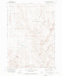
1972 · Star Creek Reservoir
USGS Topo · 1:24,000
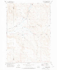
1972 · Mc Ewen Butte
USGS Topo · 1:24,000
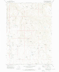
1972 · Monument Peak
USGS Topo · 1:24,000