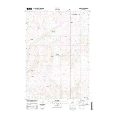
2013 Map of Mosquito Peak
USGS Topo · Published 2013About this map
Chamberlain Basin sits at the heart of this high-elevation wilderness in Idaho County, where a network of seasonal meadows and ridges defines the landscape. The map highlights a remote backcountry environment within the Payette National Forest, characterized by the drainage patterns of Chamberlain Cr and its many tributaries, including S Fork Chamberlain Cr and Fish Cr. Human activity is marked by isolated structures and junctions like Fourway Junction, Hand Cabin, and Cow Corrals, suggesting the area's use for grazing and forest management.
Find a feature on this map
35 named features on this map. Tap any name to fly to it.
Don’t see what you’re looking for? This feature index may not catch every label — zoom into the map to look around manually.
Map Details
Editions of this 2013 Mosquito Peak Map
This is the sole edition of this map. No revisions or reprints were ever made.
Other maps of this area

1937 · Big Creek
USGS Topo · 1:48,000

1942 · Big Creek
USGS Topo · 1:62,500

1956 · Elk City
USGS Topo · 1:250,000

1960 · Elk City
USGS Topo · 1:250,000

1969 · Wolf Fang Peak
USGS Topo · 1:24,000

1969 · Big Creek
USGS Topo · 1:24,000

1973 · Bismark Mtn
USGS Topo · 1:24,000

1974 · Meadow Of Doubt
USGS Topo · 1:24,000

1978 · Mosquito Peak
USGS Topo · 1:24,000

1978 · Chicken Peak
USGS Topo · 1:24,000