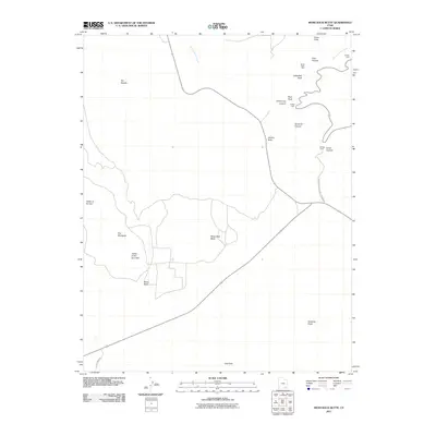
2011 Map of Moss Back Butte
USGS Topo · Published 2011About this map
Natural Bridges Natl Monument anchors this 2011 survey, showcasing the dramatic erosional geology of the Colorado Plateau. The landscape is dominated by massive sandstone formations including The Windgate, Moss Back Butte, and the Tables of the Sun Hills. Ancestral Puebloan history is marked by the presence of the Horse Collar Ruin and Ruin Rock, while the region's famous natural spans like Sipapu Bridge are documented along White Canyon Creek and Armstrong Canyon. The nomenclature of the map, such as Atomic Rock and the Tables of the Sun, reflects a blend of mid-century uranium exploration history and earlier descriptive naming. Topographical landmarks like The Needle and Dripping Point stand as distinct points of reference in a terrain shaped by deep canyons like Tuwa Canyon and To-ko-chi Canyon.
Find a feature on this map
21 named features on this map. Tap any name to fly to it.
Don’t see what you’re looking for? This feature index may not catch every label — zoom into the map to look around manually.
Map Details
Editions of this 2011 Moss Back Butte Map
This is the sole edition of this map. No revisions or reprints were ever made.
Other maps of this area

1886 · Henry Mountains
USGS Topo · 1:250,000

1886 · Abajo
USGS Topo · 1:250,000

1892 · Abajo
USGS Topo · 1:250,000

1892 · Henry Mountains
USGS Topo · 1:250,000

1893 · Abajo
USGS Topo · 1:250,000

1935 · Elk Ridge
USGS Topo · 1:96,000

1940 · Elk Ridge
USGS Topo · 1:125,000

1952 · Natural Bridges
USGS Topo · 1:62,500

1954 · White Canyon 4 NE
USGS Topo · 1:24,000

1954 · White Canyon 4 SE
USGS Topo · 1:24,000