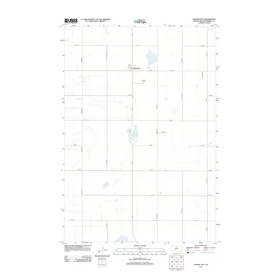
2012 Map of Mound City
USGS Topo · Published 2012About this map
Mound City serves as the central hub of this Campbell County survey, situated at the intersection of 3rd St and the north-south thoroughfare of 307th Ave. The landscape is defined by the section-line grid typical of the Great Plains, with long stretches of gravel and paved roads such as 114th St and 121st St defining the agricultural boundaries. Local history and genealogy interest is centered on the Mound City Cem, located just south of the main township. The region's hydrography is characterized by several large basins, notably Renz Lake in the center of the quadrangle, Sand Lake to the south, and the southern edge of Big Lake in the northeast corner. These water bodies, along with the numerous unnamed depressions, reflect the glacial prairie pothole topography of northern South Dakota.
Find a feature on this map
21 named features on this map. Tap any name to fly to it.
Don’t see what you’re looking for? This feature index may not catch every label — zoom into the map to look around manually.
Map Details
Editions of this 2012 Mound City Map
This is the sole edition of this map. No revisions or reprints were ever made.
Other maps of this area

1953 · McIntosh
USGS Topo · 1:250,000

1954 · Aberdeen
USGS Topo · 1:250,000

1956 · Aberdeen
USGS Topo · 1:250,000

1958 · McIntosh
USGS Topo · 1:250,000

1965 · Herreid SW
USGS Topo · 1:24,000

1965 · Herreid
USGS Topo · 1:24,000

1967 · Mound City
USGS Topo · 1:24,000

1967 · Selby SW
USGS Topo · 1:24,000

1967 · Selby
USGS Topo · 1:24,000

1967 · Selby NW
USGS Topo · 1:24,000