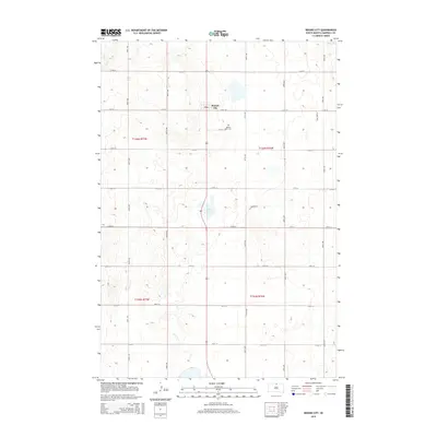
2015 Map of Mound City
USGS Topo · Published 2015About this map
Mound City sits at the heart of this Campbell County landscape, serving as a primary hub for the surrounding agricultural prairie. The map details the precise township and range divisions of the Public Land Survey System, including t126n r77w and t126n r76w, which define the geometric grid of county roads like 307th Ave and 115th St. Local history and genealogy interests are anchored by the Mound City Cem located just southeast of the main settlement. The terrain is dotted with natural depressions and small water bodies, most notably Big Lake in the northeast corner and Renz Lake near the center, reflecting the post-glacial topography of the Missouri Coteau region. This survey provides a clear view of the rural infrastructure and land management patterns in northern South Dakota during the mid-2010s.
Find a feature on this map
23 named features on this map. Tap any name to fly to it.
Don’t see what you’re looking for? This feature index may not catch every label — zoom into the map to look around manually.
Map Details
Editions of this 2015 Mound City Map
This is the sole edition of this map. No revisions or reprints were ever made.
Other maps of this area

1953 · McIntosh
USGS Topo · 1:250,000

1954 · Aberdeen
USGS Topo · 1:250,000

1956 · Aberdeen
USGS Topo · 1:250,000

1958 · McIntosh
USGS Topo · 1:250,000

1965 · Herreid SW
USGS Topo · 1:24,000

1965 · Herreid
USGS Topo · 1:24,000

1967 · Mound City
USGS Topo · 1:24,000

1967 · Selby SW
USGS Topo · 1:24,000

1967 · Selby
USGS Topo · 1:24,000

1967 · Selby NW
USGS Topo · 1:24,000