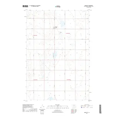
2017 Map of Mound City
USGS Topo · Published 2017About this map
Mound City serves as the central hub of this Campbell County landscape, situated along the intersection of 306th Ave and 115th St. This area of the Missouri Plateau displays a characteristically high-plains topography, where section-line roads like 304th Ave and 309th Ave carve a strict grid across the prairie. The settlement itself is compact, featuring a street plan that includes Clark St and 1st St, with the Mound City Cem located just to the east. Water features are sparse but significant in this environment, with Renz Lake and Sand Lake providing essential geographic markers amidst the agricultural blocks of T126N and T125N. The map reflects a modern rural infrastructure where traditional township boundaries persist alongside contemporary county road designations.
Find a feature on this map
23 named features on this map. Tap any name to fly to it.
Don’t see what you’re looking for? This feature index may not catch every label — zoom into the map to look around manually.
Map Details
Editions of this 2017 Mound City Map
This is the sole edition of this map. No revisions or reprints were ever made.
Other maps of this area

1953 · McIntosh
USGS Topo · 1:250,000

1954 · Aberdeen
USGS Topo · 1:250,000

1956 · Aberdeen
USGS Topo · 1:250,000

1958 · McIntosh
USGS Topo · 1:250,000

1965 · Herreid SW
USGS Topo · 1:24,000

1965 · Herreid
USGS Topo · 1:24,000

1967 · Mound City
USGS Topo · 1:24,000

1967 · Selby SW
USGS Topo · 1:24,000

1967 · Selby
USGS Topo · 1:24,000

1967 · Selby NW
USGS Topo · 1:24,000