2021 Map of Mound City
USGS Topo · Published 2021About this map
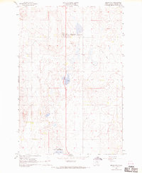
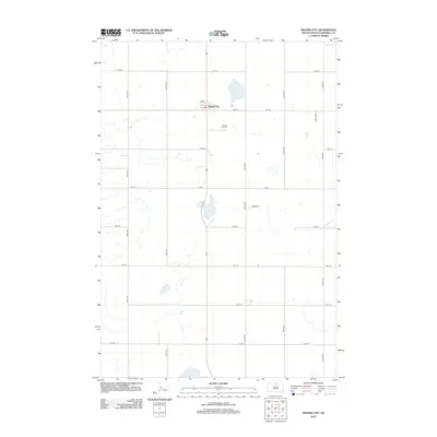
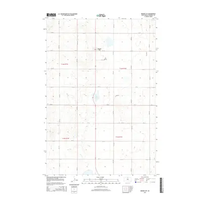
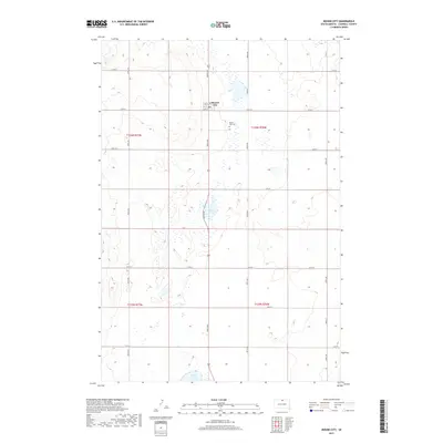
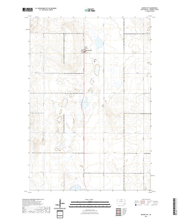
Mound City serves as the focal point of this North Dakota landscape, a high-plains settlement defined by its role as the county seat. The Campbell County Courthouse stands at the heart of the community, while the Mound City Cem lies just to the southeast. The surrounding terrain is characteristic of the Missouri Plateau, marked by numerous small depressions and seasonal wetlands that cluster around Renz Lake and Sand Lake. The map reveals a strictly regulated grid of section lines and rural corridors, such as 114th St and 306th Ave, which partition the prairie into large agricultural blocks. This 2021 survey preserves the modern footprint of a small-town government center and its relationship to the surrounding glacial topography and drainage patterns.
Find a feature on this map
24 named features on this map. Tap any name to fly to it.
Don’t see what you’re looking for? This feature index may not catch every label — zoom into the map to look around manually.
Map Details
Editions of this 2021 Mound City Map
This is the sole edition of this map. No revisions or reprints were ever made.
Historical Maps of Mound City Through Time
5 maps found