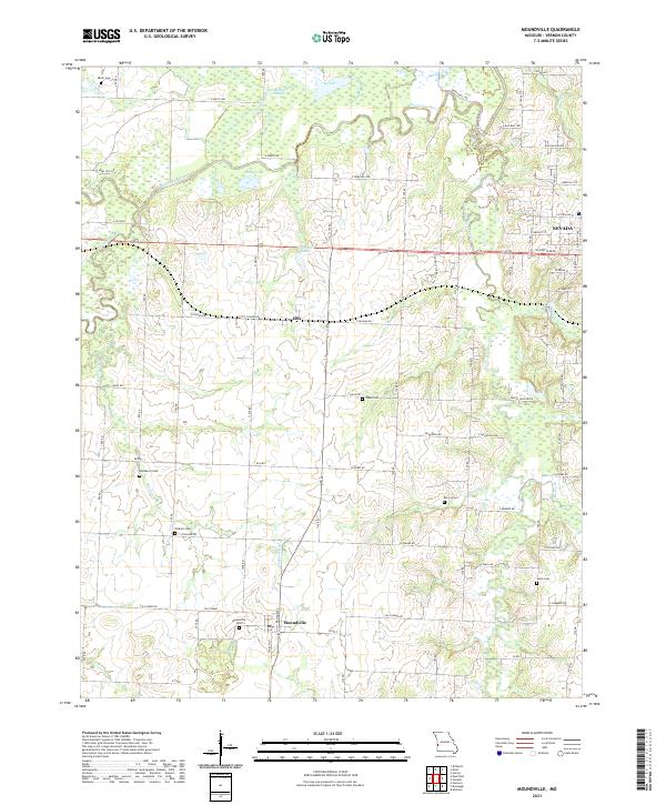
2021 Map of Moundville
USGS Topo · Published 2021About this map
The Marmaton River meanders across the northern portion of this Vernon County landscape, creating a complex hydrology of oxbows and wetlands including Bens Slough and Big Lake. To the south, the terrain transitions into the agricultural uplands surrounding the small community of Moundville and the village of Ellis. The map reveals a dense network of country roads, many bearing evocative names like E Rebel Rd, Minnie Ball Rd, and Happy Hollow Rd, which suggest a localized historical memory. Genealogical researchers will find significant value in the distribution of family and community burial sites, from Moundville Cem near the town center to more isolated locations such as Jewel Cem, Emery Cem, and Jones Cem. The northeastern corner of the map captures the residential expansion of Nevada along W Austin Blvd.
Find a feature on this map
70 named features on this map. Tap any name to fly to it.
Don’t see what you’re looking for? This feature index may not catch every label — zoom into the map to look around manually.
Map Details
Editions of this 2021 Moundville Map
This is the sole edition of this map. No revisions or reprints were ever made.
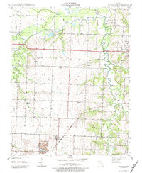
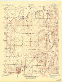
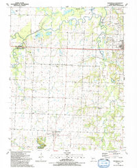
Historical Maps of Moundville Through Time
4 maps found