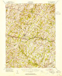
1945 Map of Mount Airy
USGS Topo · Published 1955About this map
Mount Airy serves as the central hub on this 1940s landscape, positioned where the Baltimore and Ohio railroad corridor meets the historic National Pike. The map illustrates a complex network of dairy and grain farming communities across the intersection of four Maryland counties, with established settlements like Libertytown, Taylorsville, and Damascus anchoring the rural road system. This era predates the modern suburbanization of the region, showing the original density of local institutions such as Ridge School No 4 and Woodbine Sch. Waterways like the South Branch Patapsco River and Sams Creek dictate the undulating terrain, which supported industry at sites like Roxbury Mills. The presence of Plane No 4 along the rail line provides a specific geographic marker for railroad historians tracing the engineering legacy of early steam transportation through the Maryland hills.
Find a feature on this map
87 named features on this map. Tap any name to fly to it.
Don’t see what you’re looking for? This feature index may not catch every label — zoom into the map to look around manually.
Map Details
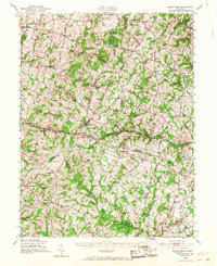
Editions of this 1945 Mount Airy Map
2 editions found
Other maps of this area

1892 · Laurel
USGS Topo · 1:62,500

1892 · Ellicott
USGS Topo · 1:62,500

1893 · Frederick
USGS Topo · 1:125,000

1894 · Ellicott
USGS Topo · 1:62,500

1894 · Laurel
USGS Topo · 1:62,500

1894 · Frederick
USGS Topo · 1:125,000

1897 · Laurel
USGS Topo · 1:62,500

1905 · Westminster
USGS Topo · 1:62,500

1906 · Ellicott
USGS Topo · 1:62,500

1907 · Laurel
USGS Topo · 1:62,500